

.png)


0
Ascents

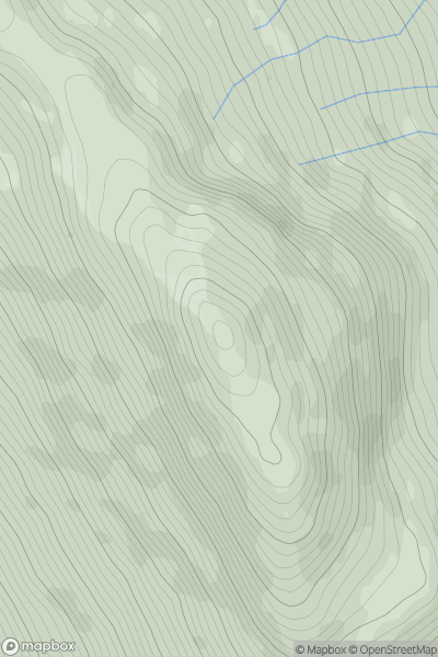
 Mourne Mountains
 0
0 592.6
592.6User Activity
No recent Activity
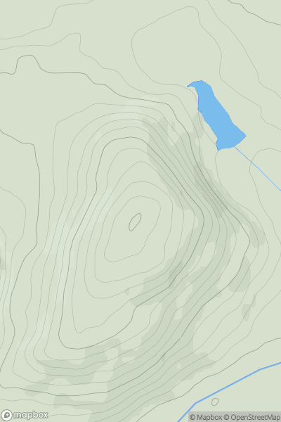
![Thumbnail image for Y Garth [South-West Wales] showing contour plot for surrounding peak](/static/img/mountains_img_db/5228_Y_Garth_[South-West_Wales].png)
0
Ascents
South-West Wales
0
433.0User Activity
No recent Activity
![Thumbnail image for Cocklaw Hill [Firth of Forth to the River Tweed] [NT718714] showing contour plot for surrounding peak](/static/img/mountains_img_db/5099_Cocklaw_Hill_[Firth_of_Forth_to_the_River_Tweed]_[NT718714].png)
0
Ascents
Firth of Forth to the River Tweed
0
319.1User Activity
No recent Activity
0
Ascents
Loch Lomond to Strathyre
0
945.8User Activity
No recent Activity
0
Ascents
Llandovery to Monmouth
0
290.0User Activity
No recent Activity
![Thumbnail image for Lees Moor [Lancashire, Cheshire and S Pennines] [SK249674] showing contour plot for surrounding peak](/static/img/mountains_img_db/2827_Lees_Moor_[Lancashire,_Cheshire_and_S_Pennines]_[SK249674].png)
0
Ascents
Lancashire, Cheshire and S Pennines
0
304.0User Activity
No recent Activity