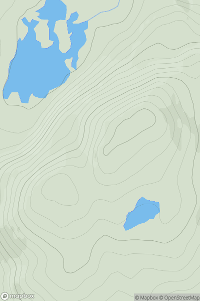
Ariel drone view of mountainous landscape with rolling clouds flowing over peak

Journal your hikes and share your adventures.

Bag peaks across the UK & Ireland, track your progress and see updates from Donder's growing community of hikers.

Donder's profile view available to users after sign-up, shows example user with progress tracking, hiking journal and user leaderboard

Thumbnail image for Meall a' Chairn showing contour plot for surrounding peak
SCO
Icon of location pin
510m
Icon of vertical, double ended, arrow to symbolise height of mountain

Meall a' Chairn

Icon of mountain used to symbolise the number of ascents made by users

0
Ascents

Thumbnail image for Sgarbh Dubh showing contour plot for surrounding peak
SCO
Icon of location pin
294m
Icon of vertical, double ended, arrow to symbolise height of mountain

Sgarbh Dubh

Icon of mountain used to symbolise the number of ascents made by users

0
Ascents

Thumbnail image for Cleat showing contour plot for surrounding peak
SCO
Icon of location pin
336m
Icon of vertical, double ended, arrow to symbolise height of mountain

Cleat

Icon of mountain used to symbolise the number of ascents made by users

0
Ascents

Thumbnail image for Sgurr a' Bhraonain showing contour plot for surrounding peak
SCO
Icon of location pin
502m
Icon of vertical, double ended, arrow to symbolise height of mountain

Sgurr a' Bhraonain

Icon of mountain used to symbolise the number of ascents made by users

0
Ascents

Thumbnail image for Blacklorg Hill showing contour plot for surrounding peak
SCO
Icon of location pin
681m
Icon of vertical, double ended, arrow to symbolise height of mountain

Blacklorg Hill

Icon of mountain used to symbolise the number of ascents made by users

0
Ascents

Thumbnail image for Byrehope Mount showing contour plot for surrounding peak
SCO
Icon of location pin
536m
Icon of vertical, double ended, arrow to symbolise height of mountain

Byrehope Mount

Icon of mountain used to symbolise the number of ascents made by users

0
Ascents