


0
Ascents

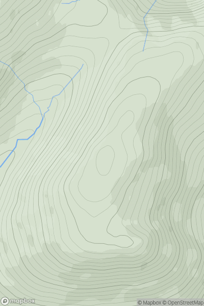
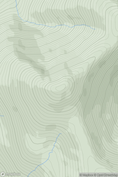
 Kyle of Lochalsh to Garve
 0
0 689.0
689.0User Activity
No recent Activity
0
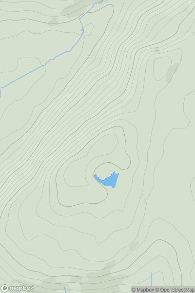
Ascents
Shropshire
0
362.0User Activity
No recent Activity
0
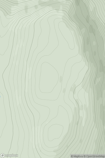
Ascents
Loch Treig to Loch Ericht
0
704.0User Activity
No recent Activity
0
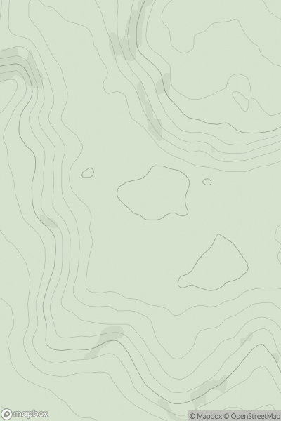
Ascents
Central and Eastern England
0
249.0User Activity
No recent Activity
0
Ascents
Mull and Nearby Islands
0
704.0User Activity
No recent Activity
0
Ascents
Orkney Islands
0
158.0User Activity
No recent Activity