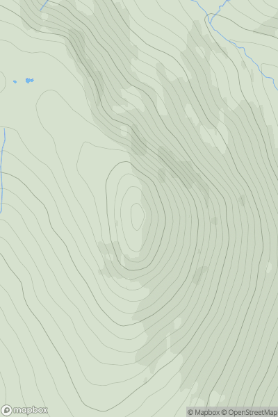
Ariel drone view of mountainous landscape with rolling clouds flowing over peak

Journal your hikes and share your adventures.

Bag peaks across the UK & Ireland, track your progress and see updates from Donder's growing community of hikers.

Donder's profile view available to users after sign-up, shows example user with progress tracking, hiking journal and user leaderboard

Thumbnail image for Knockbrin showing contour plot for surrounding peak
IRE
Icon of location pin
259m
Icon of vertical, double ended, arrow to symbolise height of mountain

Knockbrin

Icon of mountain used to symbolise the number of ascents made by users

0
Ascents

Thumbnail image for Overmoor showing contour plot for surrounding peak
ENG
Icon of location pin
289m
Icon of vertical, double ended, arrow to symbolise height of mountain

Overmoor

Icon of mountain used to symbolise the number of ascents made by users

0
Ascents

Thumbnail image for Cnicht showing contour plot for surrounding peak
WLS
Icon of location pin
689m
Icon of vertical, double ended, arrow to symbolise height of mountain

Cnicht

Icon of mountain used to symbolise the number of ascents made by users

0
Ascents

Thumbnail image for Toy's Hill showing contour plot for surrounding peak
ENG
Icon of location pin
248m
Icon of vertical, double ended, arrow to symbolise height of mountain

Toy's Hill

Icon of mountain used to symbolise the number of ascents made by users

0
Ascents

Thumbnail image for Gibbet Hill [South East England] showing contour plot for surrounding peak
ENG
Icon of location pin
272m
Icon of vertical, double ended, arrow to symbolise height of mountain

Gibbet Hill [South East England]

Icon of mountain used to symbolise the number of ascents made by users

0
Ascents

Thumbnail image for Great Calva showing contour plot for surrounding peak
ENG
Icon of location pin
691m
Icon of vertical, double ended, arrow to symbolise height of mountain

Great Calva

Icon of mountain used to symbolise the number of ascents made by users

0
Ascents