


0
Ascents

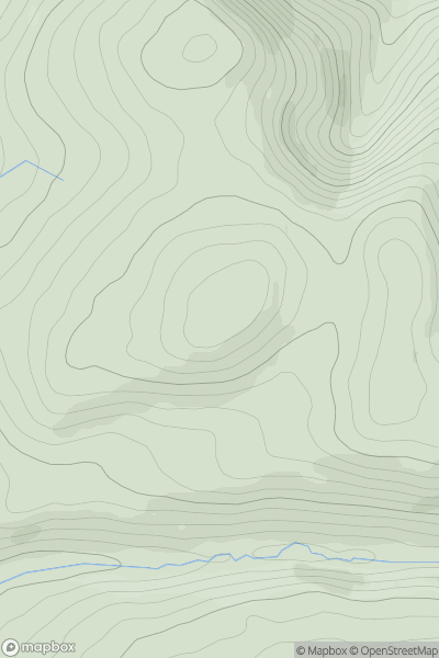
 Aberystwyth to Welshpool
 0
0 297.0
297.0User Activity
No recent Activity
0
Ascents
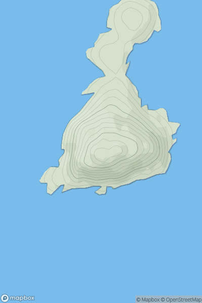
Iveragh Peninsula S
0
144.0User Activity
No recent Activity
0
Ascents
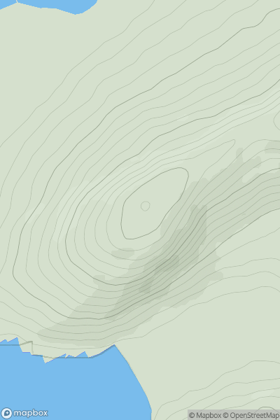
Bantry to Clear Island
0
164.0User Activity
No recent Activity
0
Ascents
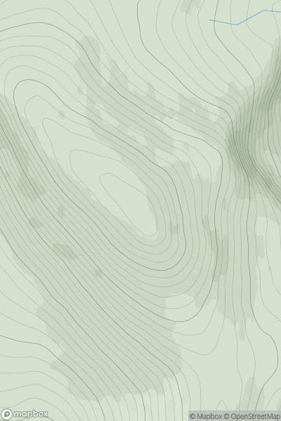
Cairngorms
0
1155.0User Activity
No recent Activity
0
Ascents
Ayr to the River Clyde
0
270.7User Activity
No recent Activity
0
Ascents
Knockmealdown, Comeragh and Monavullagh Mountains
0
156.0User Activity
No recent Activity