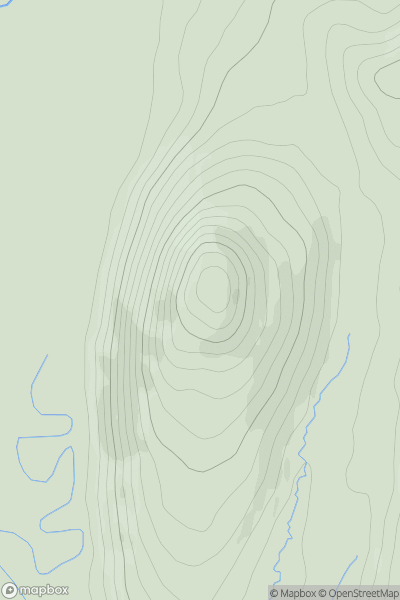
Ariel drone view of mountainous landscape with rolling clouds flowing over peak

Journal your hikes and share your adventures.

Bag peaks across the UK & Ireland, track your progress and see updates from Donder's growing community of hikers.

Donder's profile view available to users after sign-up, shows example user with progress tracking, hiking journal and user leaderboard

Thumbnail image for Caol Bheinn showing contour plot for surrounding peak
SCO
Icon of location pin
431m
Icon of vertical, double ended, arrow to symbolise height of mountain

Caol Bheinn

Icon of mountain used to symbolise the number of ascents made by users

0
Ascents

Thumbnail image for Buachaille Etive Mor - Stob na Broige showing contour plot for surrounding peak
SCO
Icon of location pin
953m
Icon of vertical, double ended, arrow to symbolise height of mountain

Buachaille Etive Mor - Stob na Broige

Icon of mountain used to symbolise the number of ascents made by users

0
Ascents

Thumbnail image for Beinn a' Mhuil showing contour plot for surrounding peak
SCO
Icon of location pin
370m
Icon of vertical, double ended, arrow to symbolise height of mountain

Beinn a' Mhuil

Icon of mountain used to symbolise the number of ascents made by users

0
Ascents

Thumbnail image for Creag a' Chapuill showing contour plot for surrounding peak
SCO
Icon of location pin
282m
Icon of vertical, double ended, arrow to symbolise height of mountain

Creag a' Chapuill

Icon of mountain used to symbolise the number of ascents made by users

0
Ascents

Thumbnail image for Srahmore showing contour plot for surrounding peak
IRE
Icon of location pin
186m
Icon of vertical, double ended, arrow to symbolise height of mountain

Srahmore

Icon of mountain used to symbolise the number of ascents made by users

0
Ascents

Thumbnail image for Black Law [The River Tweed to the English Border] [NT619182] showing contour plot for surrounding peak
SCO
Icon of location pin
338m
Icon of vertical, double ended, arrow to symbolise height of mountain

Black Law [The River Tweed to the English Border] [NT619182]

Icon of mountain used to symbolise the number of ascents made by users

0
Ascents