


0
Ascents

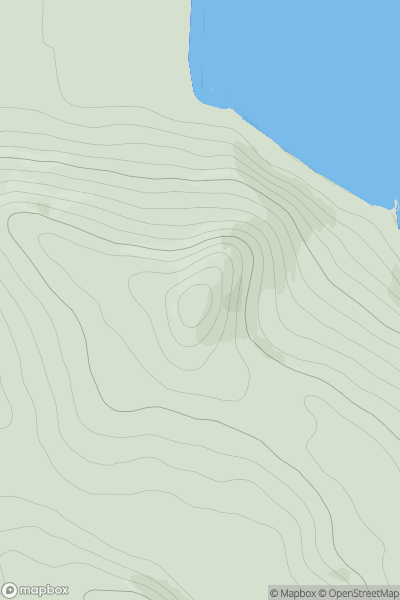
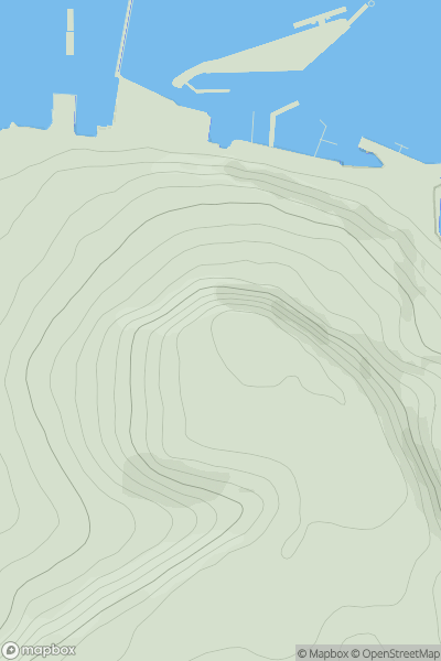
 Loch Fyne to Bute and the Firth of Clyde
 0
0 157.0
157.0User Activity
No recent Activity
0
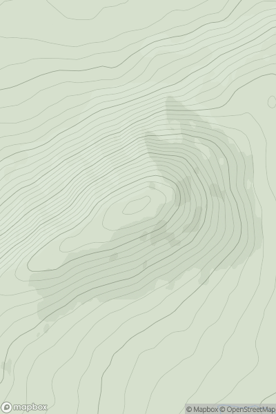
Ascents
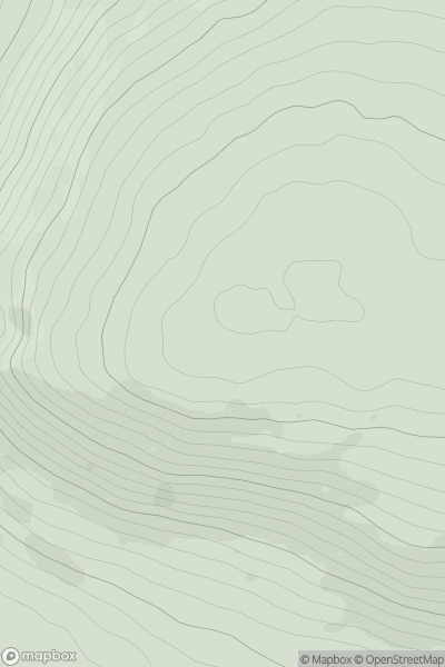
Sperrin Mountains
0
337.0User Activity
No recent Activity
0
Ascents
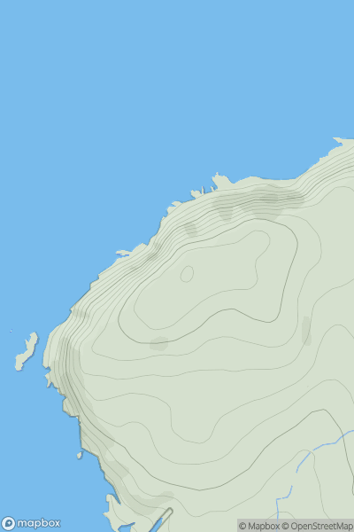
Isle of Man
0
128.0User Activity
No recent Activity
0
Ascents
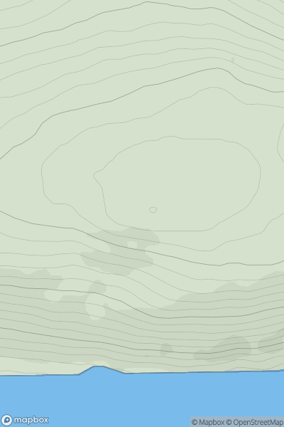
Altnaharra to Dornoch
0
186.0User Activity
No recent Activity
0
Ascents
South Central England
0
152.3User Activity
No recent Activity
0
Ascents
South Mayo and Central Galway
0
388.0User Activity
No recent Activity