


0
Ascents

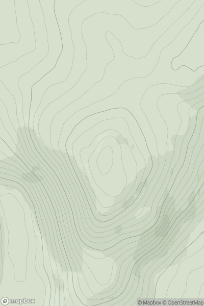
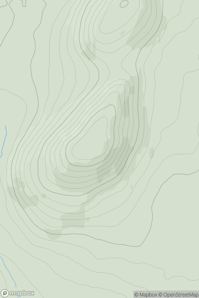
 Loch Tay to Perth
 0
0 403.3
403.3User Activity
No recent Activity
0
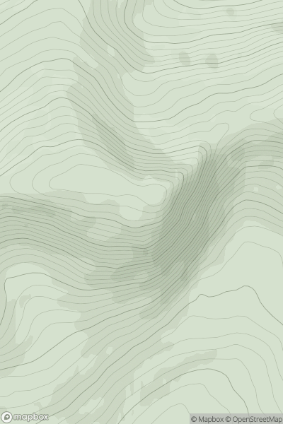
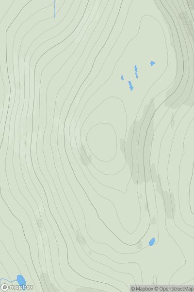
Ascents
Iveragh Peninsula S
0
595.0User Activity
No recent Activity
0
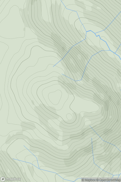
Ascents
Loch Lomond to Strathyre
0
589.0User Activity
No recent Activity
0
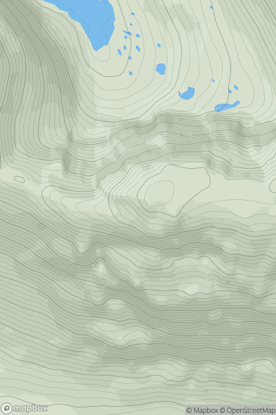
Ascents
Loch Torridon to Loch Maree
0
976.0User Activity
No recent Activity
0
Ascents
The River Tweed to the English Border
0
276.0User Activity
No recent Activity
0
Ascents
Harris and Nearby Islands
0
354.0User Activity
No recent Activity