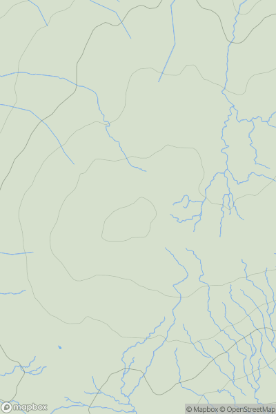
Ariel drone view of mountainous landscape with rolling clouds flowing over peak

Journal your hikes and share your adventures.

Bag peaks across the UK & Ireland, track your progress and see updates from Donder's growing community of hikers.

Donder's profile view available to users after sign-up, shows example user with progress tracking, hiking journal and user leaderboard

Thumbnail image for Foel Dugoed showing contour plot for surrounding peak
WLS
Icon of location pin
439m
Icon of vertical, double ended, arrow to symbolise height of mountain

Foel Dugoed

Icon of mountain used to symbolise the number of ascents made by users

0
Ascents

Thumbnail image for Bleaklow Head showing contour plot for surrounding peak
ENG
Icon of location pin
633m
Icon of vertical, double ended, arrow to symbolise height of mountain

Bleaklow Head

Icon of mountain used to symbolise the number of ascents made by users

0
Ascents

Thumbnail image for Carn na Bruar showing contour plot for surrounding peak
SCO
Icon of location pin
683m
Icon of vertical, double ended, arrow to symbolise height of mountain

Carn na Bruar

Icon of mountain used to symbolise the number of ascents made by users

0
Ascents

Thumbnail image for Meall a' Chois showing contour plot for surrounding peak
SCO
Icon of location pin
114m
Icon of vertical, double ended, arrow to symbolise height of mountain

Meall a' Chois

Icon of mountain used to symbolise the number of ascents made by users

0
Ascents

Thumbnail image for Carn na Farraidh showing contour plot for surrounding peak
SCO
Icon of location pin
688m
Icon of vertical, double ended, arrow to symbolise height of mountain

Carn na Farraidh

Icon of mountain used to symbolise the number of ascents made by users

0
Ascents

Thumbnail image for Carnanmore showing contour plot for surrounding peak
IRE
Icon of location pin
379m
Icon of vertical, double ended, arrow to symbolise height of mountain

Carnanmore

Icon of mountain used to symbolise the number of ascents made by users

0
Ascents