


0
Ascents

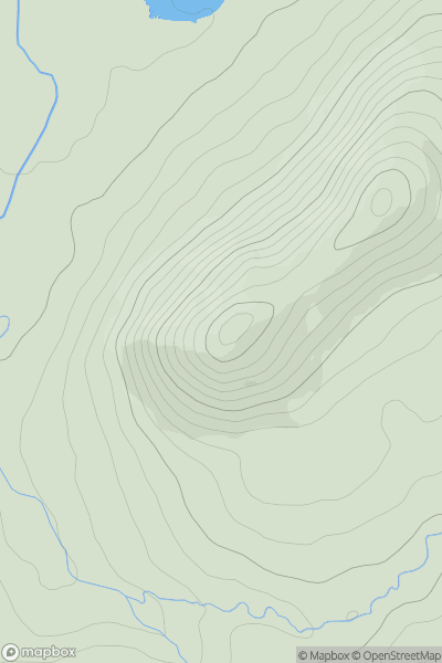
 Maumturk Mountains
 0
0 271.0
271.0User Activity
No recent Activity
.png)
0
Ascents
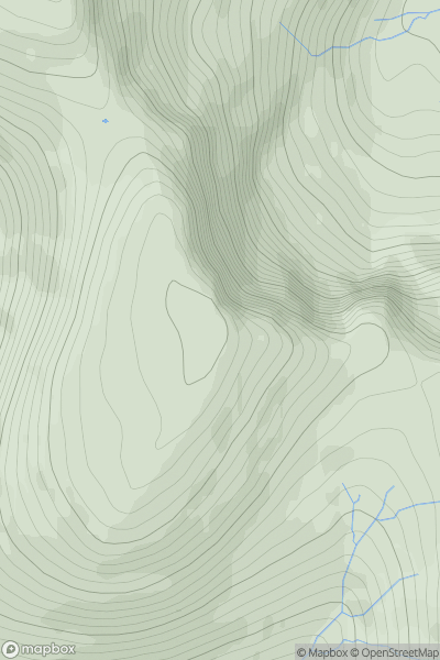
North Uist, South Uist and Nearby Islands
0
147.0User Activity
No recent Activity
0
Ascents
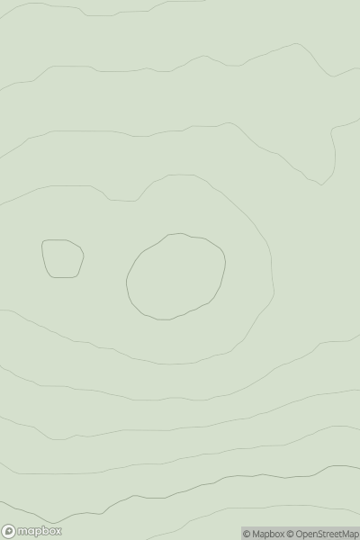
North Skye and Raasay
0
608.6User Activity
No recent Activity
0
Ascents
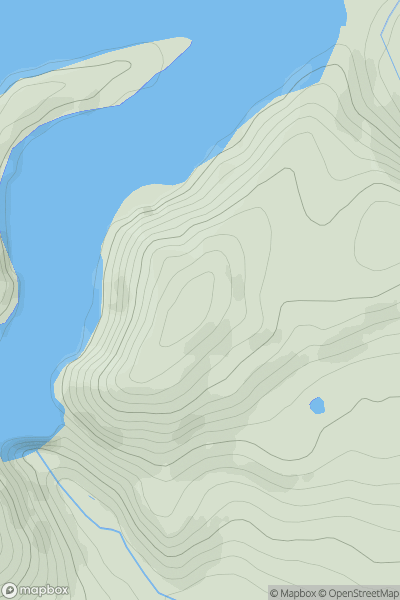
Inverness to Strathspey
0
258.0User Activity
No recent Activity
0
Ascents
Aberystwyth to Welshpool
0
403.1User Activity
No recent Activity
0
Ascents
Llandudno to Wrexham
0
204.4User Activity
No recent Activity