


0
Ascents

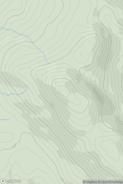
 Loch Lomond to Strathyre
 0
0 638.0
638.0User Activity
No recent Activity
0
Ascents
Northumberland
0
233.0User Activity
No recent Activity
![Thumbnail image for Sgurr nan Each [The Fannaichs] showing contour plot for surrounding peak](/static/img/mountains_img_db/1051_Sgurr_nan_Each_[The_Fannaichs].png)
0
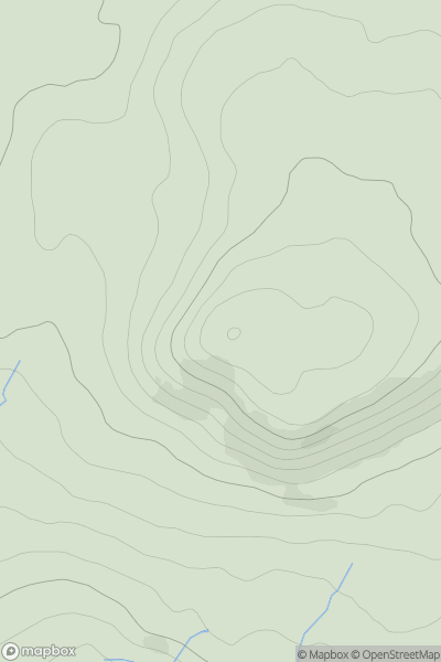
Ascents
The Fannaichs
0
923.0User Activity
No recent Activity
0
Ascents
Firth of Forth to the River Tweed
0
164.4User Activity
No recent Activity
.png)
0
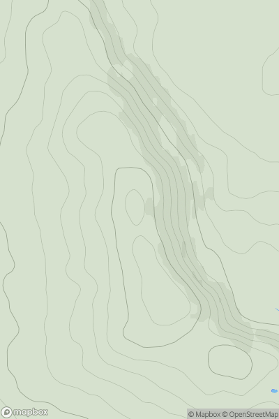
Ascents
Iveragh Peninsula N
0
206.0User Activity
No recent Activity
_(Scalabhal).png)
0
Ascents
Lewis and Nearby Islands
0
260.0User Activity
No recent Activity