

.png)


0
Ascents

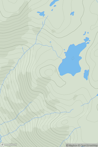
 The Glenkens to Annandale
 0
0 516.0
516.0User Activity
No recent Activity
0
Ascents
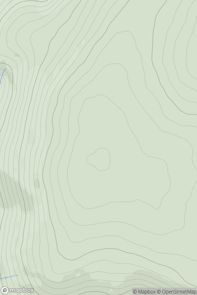
Applecross to Achnasheen
0
525.0User Activity
No recent Activity
0
Ascents
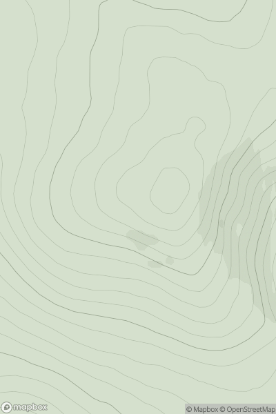
Firth of Forth to the River Tweed
0
593.0User Activity
No recent Activity
0
Ascents
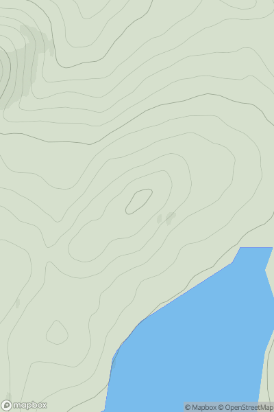
Altnaharra to Dornoch
0
598.0User Activity
No recent Activity
0
Ascents
Glen Affric to Glen Moriston
0
559.0User Activity
No recent Activity
0
Ascents
Lochinver to Ullapool
0
512.0User Activity
No recent Activity