


0
Ascents

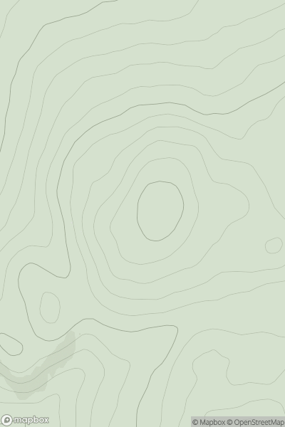
 Loch Tay to Perth
 0
0 509.0
509.0User Activity
No recent Activity
0
Ascents
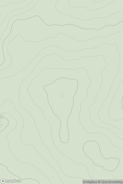
Llandudno to Wrexham
0
512.1User Activity
No recent Activity
0
Ascents
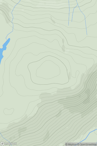
Inveraray to Crianlarich
0
524.0User Activity
No recent Activity
0
Ascents
Mallaig to Fort William
0
574.0User Activity
No recent Activity
.png)
0
Ascents
Iveragh Peninsula S
0
571.0User Activity
No recent Activity
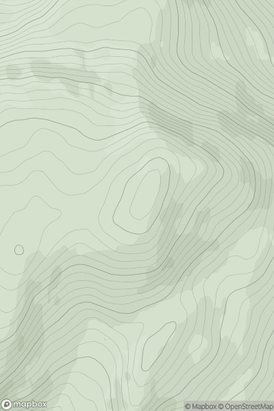
![Thumbnail image for Meall Odhar [Glen Lyon to Glen Dochart & Loch Tay] showing contour plot for surrounding peak](/static/img/mountains_img_db/5859_Meall_Odhar_[Glen_Lyon_to_Glen_Dochart_&_Loch_Tay].png)
0
Ascents
Glen Lyon to Glen Dochart & Loch Tay
0
568.0User Activity
No recent Activity