


0
Ascents

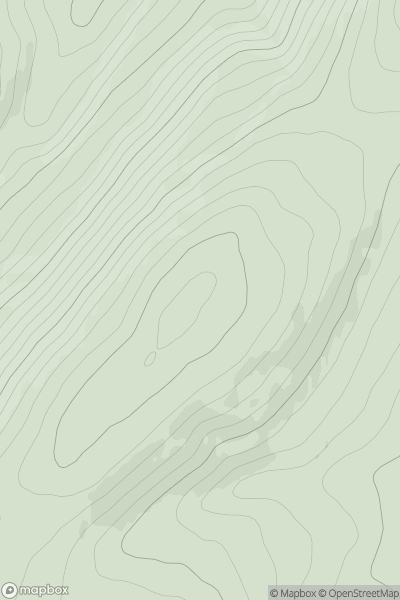
 The River Tweed to the English Border
 0
0 514.6
514.6User Activity
No recent Activity
.png)
0
Ascents
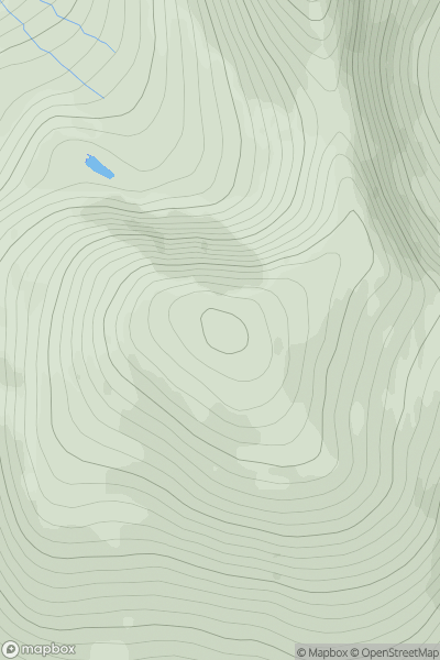
Beara Peninsula
0
554.0User Activity
No recent Activity
0
Ascents
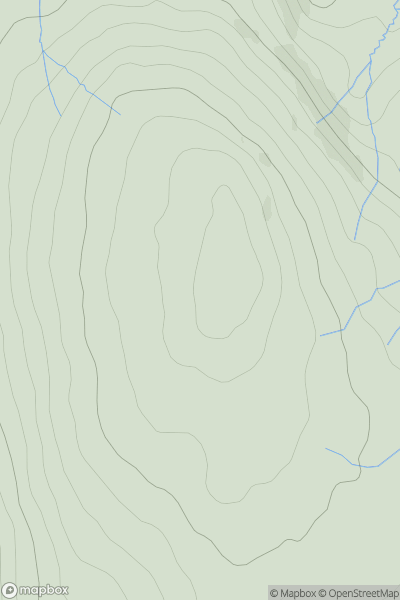
Harris and Nearby Islands
0
512.0User Activity
No recent Activity
0
Ascents
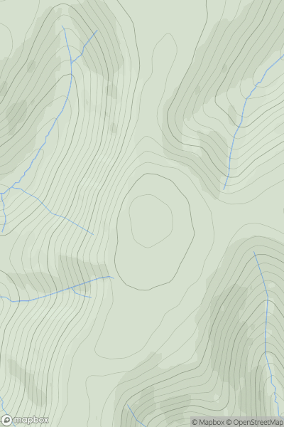
Central Pennines
0
535.0User Activity
No recent Activity
0
Ascents
The River Tweed to the English Border
0
567.0User Activity
No recent Activity
0
Ascents
Loch Ericht to Glen Tromie & Glen Garry
0
566.0User Activity
No recent Activity