


0
Ascents

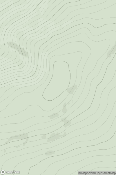
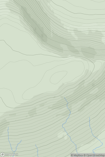
 The River Tweed to the English Border
 0
0 512.0
512.0User Activity
No recent Activity
0
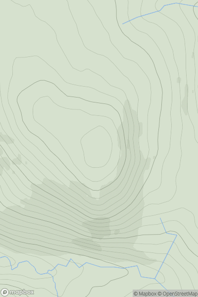
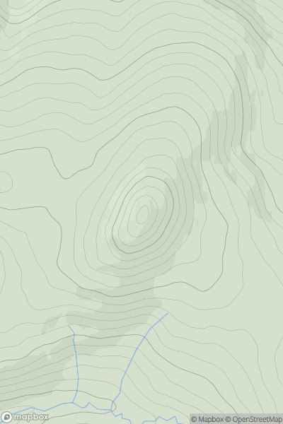
Ascents
Northumberland
0
526.0User Activity
No recent Activity
0
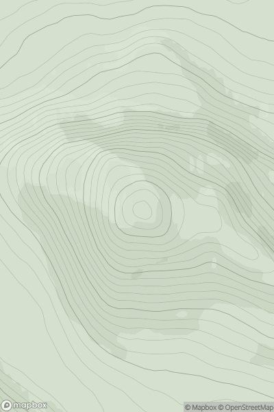
Ascents
Durness to Loch Shin
0
535.0User Activity
No recent Activity
0
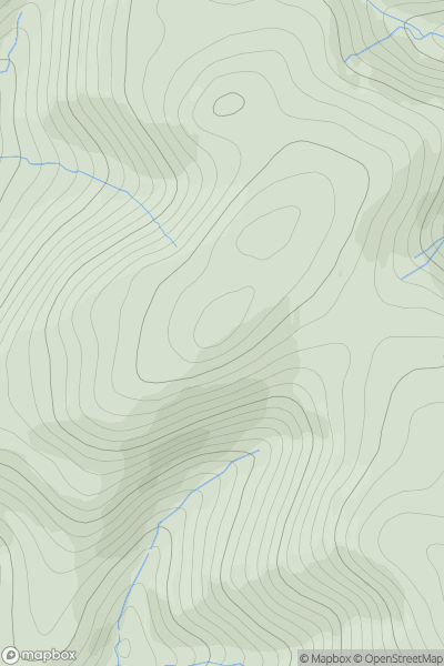
Ascents
Firth of Forth to the River Tweed
0
587.0User Activity
No recent Activity
0
Ascents
Glen Shiel to Loch Hourn and Loch Quoich
0
540.0User Activity
No recent Activity
0
Ascents
Bala to Welshpool
0
590.0User Activity
No recent Activity