


0
Ascents

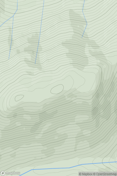
 Mallaig to Fort William
 0
0 569.0
569.0User Activity
No recent Activity
0
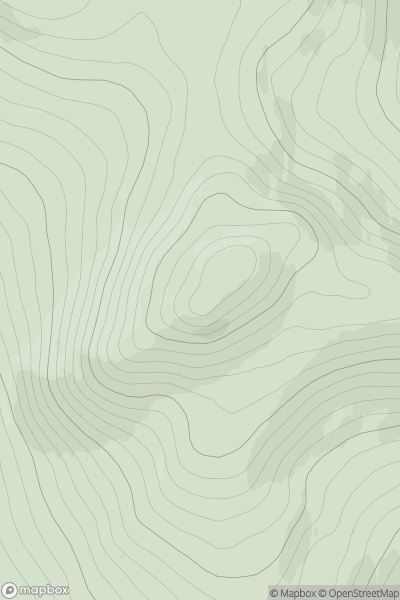
Ascents
Braemar to Montrose
0
599.2User Activity
No recent Activity
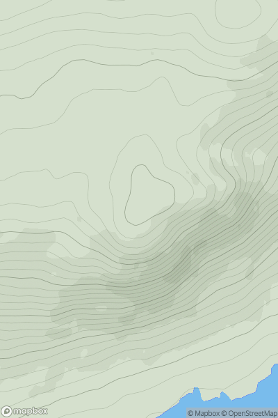
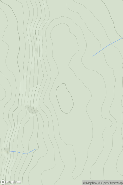
![Thumbnail image for Broom Hill [Fraserburgh to the Dee Valley] [NJ469092] showing contour plot for surrounding peak](/static/img/mountains_img_db/7065_Broom_Hill_[Fraserburgh_to_the_Dee_Valley]_[NJ469092].png)
0
Ascents
Fraserburgh to the Dee Valley
0
576.0User Activity
No recent Activity
0
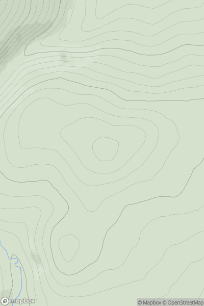
Ascents
Glen Shiel to Loch Hourn and Loch Quoich
0
515.0User Activity
No recent Activity
0
Ascents
Tomintoul to Banff
0
548.0User Activity
No recent Activity
0
Ascents
Welshpool to Hay-on-Wye
0
508.0User Activity
No recent Activity