

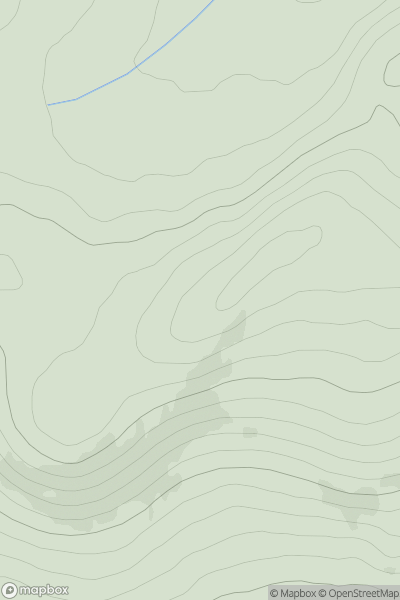
![Thumbnail image for Cruach nan Caorach [Loch Fyne to Bute and the Firth of Clyde] [NS073811] showing contour plot for surrounding peak](/static/img/mountains_img_db/6969_Cruach_nan_Caorach_[Loch_Fyne_to_Bute_and_the_Firth_of_Clyde]_[NS073811].png)


0
Ascents

 Loch Fyne to Bute and the Firth of Clyde
 0
0 578.0
578.0User Activity
No recent Activity
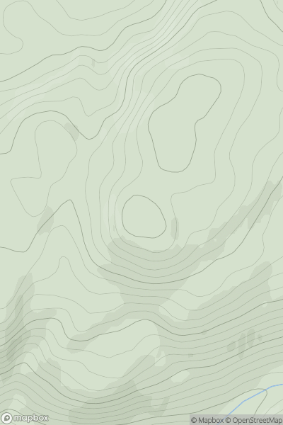
![Thumbnail image for Carn an Tuairneir [Glen Affric to Glen Moriston] [NH386196] showing contour plot for surrounding peak](/static/img/mountains_img_db/6515_Carn_an_Tuairneir_[Glen_Affric_to_Glen_Moriston]_[NH386196].png)
0
Ascents
Glen Affric to Glen Moriston
0
536.0User Activity
No recent Activity
0
Ascents
Glen Albyn and the Monadh Liath
0
548.0User Activity
No recent Activity
![Thumbnail image for Meall Daimh [The Fannaichs] showing contour plot for surrounding peak](/static/img/mountains_img_db/6704_Meall_Daimh_[The_Fannaichs].png)
0
Ascents
The Fannaichs
0
533.0User Activity
No recent Activity
0
Ascents
Oban to Loch Fyne
0
515.0User Activity
No recent Activity
.png)
0
Ascents
South Mayo and Central Galway
0
559.0User Activity
No recent Activity