

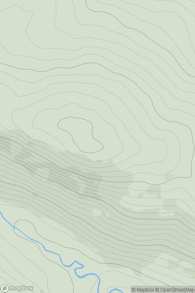
![Thumbnail image for Meall nan Each [Morvern and Kingairloch] showing contour plot for surrounding peak](/static/img/mountains_img_db/6914_Meall_nan_Each_[Morvern_and_Kingairloch].png)


0
Ascents

 Morvern and Kingairloch
 0
0 591.0
591.0User Activity
No recent Activity
0
Ascents
The Glenkens to Annandale
0
505.0User Activity
No recent Activity
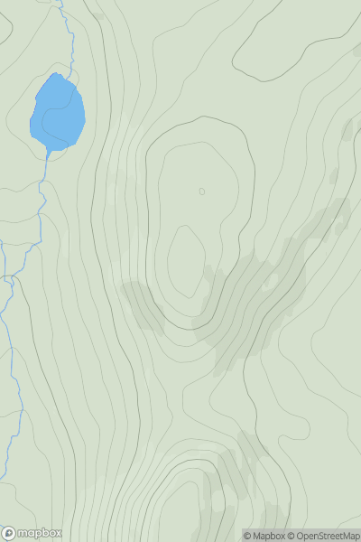
![Thumbnail image for Black Hill [The Glenkens to Annandale] [NS894058] showing contour plot for surrounding peak](/static/img/mountains_img_db/7237_Black_Hill_[The_Glenkens_to_Annandale]_[NS894058].png)
0
Ascents
The Glenkens to Annandale
0
531.0User Activity
No recent Activity
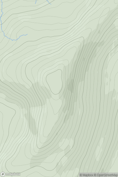
![Thumbnail image for Cruach nan Capull [Loch Fyne to Bute and the Firth of Clyde] [NN148057] showing contour plot for surrounding peak](/static/img/mountains_img_db/1438_Cruach_nan_Capull_[Loch_Fyne_to_Bute_and_the_Firth_of_Clyde]_[NN148057].png)
0
Ascents
Loch Fyne to Bute and the Firth of Clyde
0
565.0User Activity
No recent Activity
0
Ascents
Barmouth to Betws-y-Coed and Bala
0
533.6User Activity
No recent Activity
0
Ascents
Knapdale and Kintyre
0
562.0User Activity
No recent Activity