

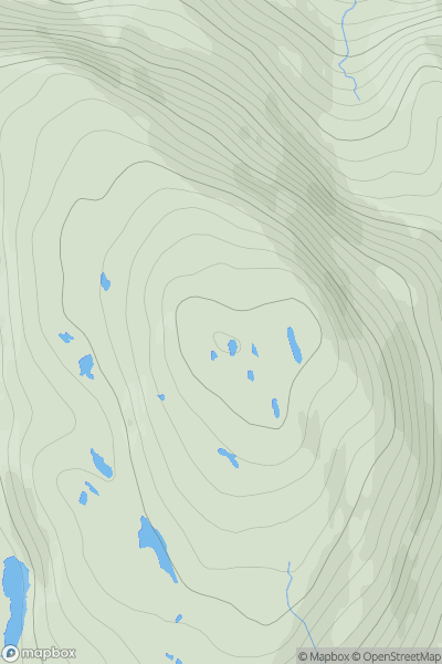
![Thumbnail image for Bryn-mawr [Barmouth to Betws-y-Coed and Bala] showing contour plot for surrounding peak](/static/img/mountains_img_db/3397_Bryn-mawr_[Barmouth_to_Betws-y-Coed_and_Bala].png)


0
Ascents

 Barmouth to Betws-y-Coed and Bala
 0
0 510.4
510.4User Activity
No recent Activity
0
Ascents
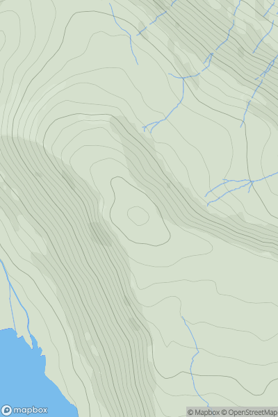
Applecross to Achnasheen
0
516.0User Activity
No recent Activity
![Thumbnail image for Carn a' Bhodaich [Killilan to Inverness] showing contour plot for surrounding peak](/static/img/mountains_img_db/949_Carn_a'_Bhodaich_[Killilan_to_Inverness].png)
0
Ascents
Killilan to Inverness
0
501.0User Activity
No recent Activity
![Thumbnail image for Cefn Coch [Neath to Chepstow] showing contour plot for surrounding peak](/static/img/mountains_img_db/3515_Cefn_Coch_[Neath_to_Chepstow].png)
0
Ascents
Neath to Chepstow
0
571.0User Activity
No recent Activity
![Thumbnail image for Craiglee [Carrick and Galloway] [NX461801] showing contour plot for surrounding peak](/static/img/mountains_img_db/1719_Craiglee_[Carrick_and_Galloway]_[NX461801].png)
0
Ascents
Carrick and Galloway
0
531.0User Activity
No recent Activity
0
Ascents
Llandovery to Monmouth
0
565.0User Activity
No recent Activity