


0
Ascents

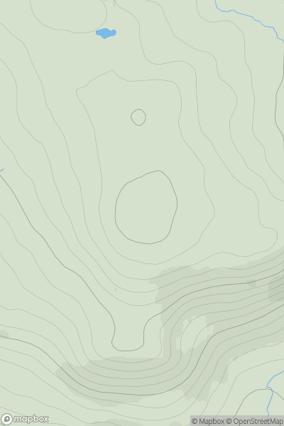
 Loch Vaich to Moray Firth
 0
0 514.0
514.0User Activity
No recent Activity
0
Ascents
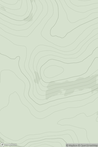
Braemar to Montrose
0
521.0User Activity
No recent Activity
0
Ascents
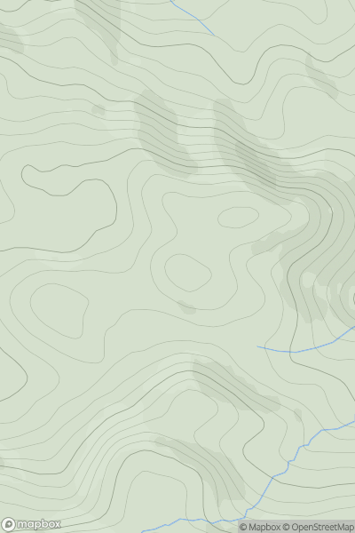
Loch Rannoch to Glen Lyon
0
503.0User Activity
No recent Activity
0
Ascents
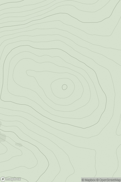
Tomintoul to Banff
0
504.0User Activity
No recent Activity
0
Ascents
Welshpool to Hay-on-Wye
0
506.6User Activity
No recent Activity
0
Ascents
Glen Lyon to Glen Dochart & Loch Tay
0
558.0User Activity
No recent Activity