


0
Ascents

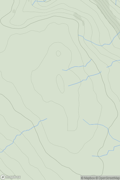
 South West England
 0
0 515.0
515.0User Activity
No recent Activity
0
Ascents
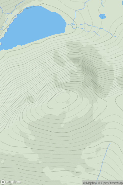
Shropshire
0
510.5User Activity
No recent Activity
0
Ascents
South-West Wales
0
525.0User Activity
No recent Activity
0
Ascents
Tongue to Wick and Helmsdale
0
527.0User Activity
No recent Activity
0
Ascents
North Pennines
0
584.0User Activity
No recent Activity
0
Ascents
Harris and Nearby Islands
0
531.0User Activity
No recent Activity