

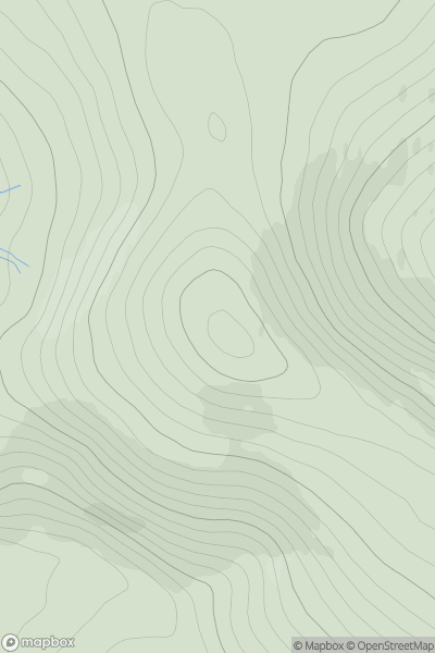
![Thumbnail image for Garbh-mheall Mor [Loch Ericht to Glen Tromie & Glen Garry] showing contour plot for surrounding peak](/static/img/mountains_img_db/5971_Garbh-mheall_Mor_[Loch_Ericht_to_Glen_Tromie_&_Glen_Garry].png)


0
Ascents

 Loch Ericht to Glen Tromie & Glen Garry
 0
0 594.0
594.0User Activity
No recent Activity
0
Ascents
Tomintoul to Banff
0
570.0User Activity
No recent Activity
0
Ascents
Loch Fyne to Bute and the Firth of Clyde
0
548.0User Activity
No recent Activity
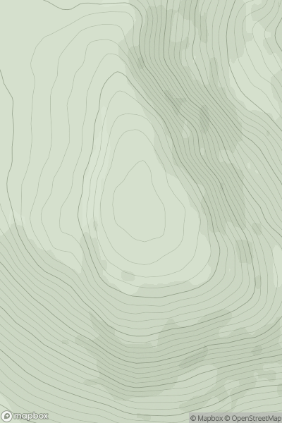
![Thumbnail image for Cnoc a' Mhadaidh [Durness to Loch Shin] showing contour plot for surrounding peak](/static/img/mountains_img_db/6781_Cnoc_a'_Mhadaidh_[Durness_to_Loch_Shin].png)
0
Ascents
Durness to Loch Shin
0
594.0User Activity
No recent Activity
![Thumbnail image for Craig Hill [Loch Tay to Perth] showing contour plot for surrounding peak](/static/img/mountains_img_db/5667_Craig_Hill_[Loch_Tay_to_Perth].png)
0
Ascents
Loch Tay to Perth
0
563.0User Activity
No recent Activity
.png)
0
Ascents
Barmouth to Betws-y-Coed and Bala
0
525.2User Activity
No recent Activity