


0
Ascents

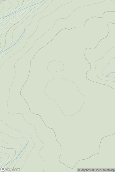
 South-West Wales
 0
0 505.0
505.0User Activity
No recent Activity
0
Ascents
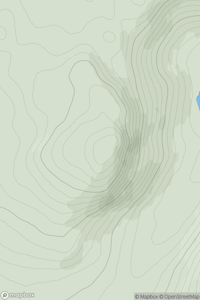
Loch Treig to Loch Ericht
0
560.0User Activity
No recent Activity
0
Ascents
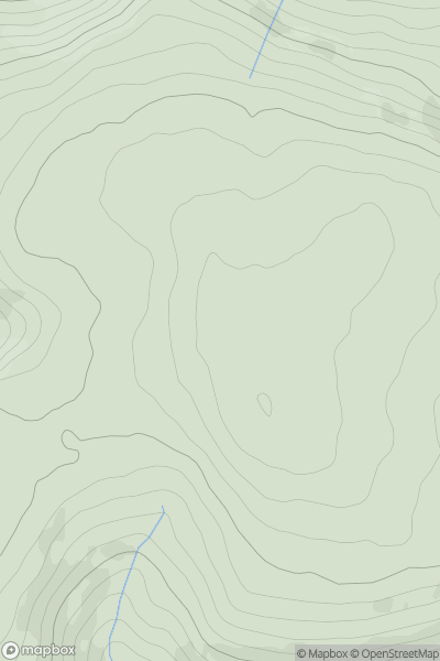
Welshpool to Hay-on-Wye
0
542.0User Activity
No recent Activity
0
Ascents
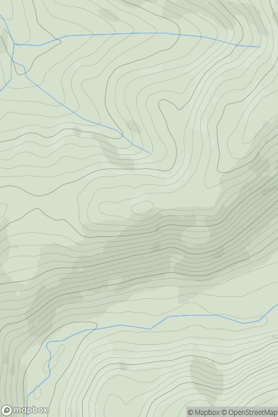
South-West Wales
0
513.0User Activity
No recent Activity
0
Ascents
Snowdonia
0
541.3User Activity
No recent Activity
0
Ascents
Loch Rannoch to Glen Lyon
0
572.0User Activity
No recent Activity