


0
Ascents

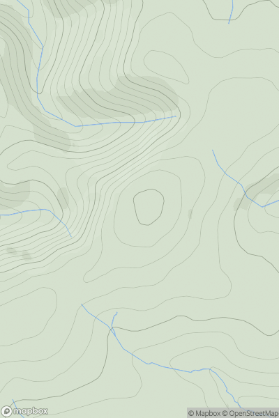
 Northumberland
 0
0 508.0
508.0User Activity
No recent Activity
0
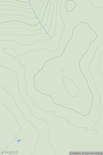
Ascents
Sligo and N Roscommon
0
512.0User Activity
No recent Activity
0
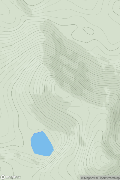
Ascents
Derryveagh, Glendowan
0
563.9User Activity
No recent Activity
0
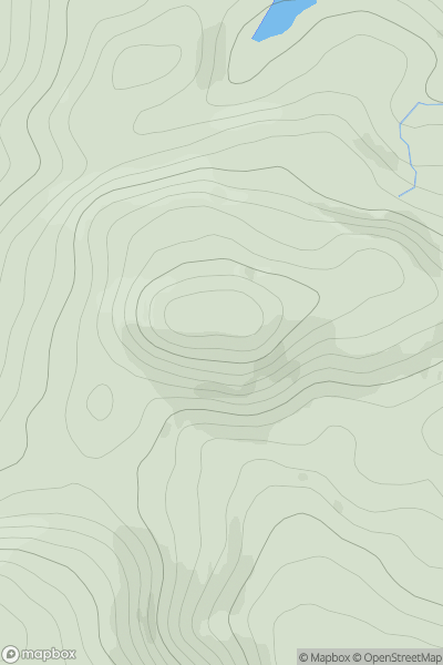
Ascents
Kyle of Lochalsh to Garve
0
592.0User Activity
No recent Activity
0
Ascents
Barmouth to Betws-y-Coed and Bala
0
536.8User Activity
No recent Activity
0
Ascents
Lake District C&W
0
506.2User Activity
No recent Activity