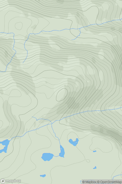
Ariel drone view of mountainous landscape with rolling clouds flowing over peak

Journal your hikes and share your adventures.

Bag peaks across the UK & Ireland, track your progress and see updates from Donder's growing community of hikers.

Donder's profile view available to users after sign-up, shows example user with progress tracking, hiking journal and user leaderboard

Thumbnail image for Beinn Bhuidhe [Moidart and Ardnamurchan] showing contour plot for surrounding peak
SCO
Icon of location pin
500m
Icon of vertical, double ended, arrow to symbolise height of mountain

Beinn Bhuidhe [Moidart and Ardnamurchan]

Icon of mountain used to symbolise the number of ascents made by users

0
Ascents

Thumbnail image for An Leth-bheinn showing contour plot for surrounding peak
SCO
Icon of location pin
528m
Icon of vertical, double ended, arrow to symbolise height of mountain

An Leth-bheinn

Icon of mountain used to symbolise the number of ascents made by users

0
Ascents

Thumbnail image for Carlin Tooth [The River Tweed to the English Border] [NY418988] showing contour plot for surrounding peak
SCO
Icon of location pin
511m
Icon of vertical, double ended, arrow to symbolise height of mountain

Carlin Tooth [The River Tweed to the English Border] [NY418988]

Icon of mountain used to symbolise the number of ascents made by users

0
Ascents

Thumbnail image for Ewe Hill [The Glenkens to Annandale] showing contour plot for surrounding peak
SCO
Icon of location pin
582m
Icon of vertical, double ended, arrow to symbolise height of mountain

Ewe Hill [The Glenkens to Annandale]

Icon of mountain used to symbolise the number of ascents made by users

0
Ascents

Thumbnail image for Meall an Odhar showing contour plot for surrounding peak
SCO
Icon of location pin
561m
Icon of vertical, double ended, arrow to symbolise height of mountain

Meall an Odhar

Icon of mountain used to symbolise the number of ascents made by users

0
Ascents

Thumbnail image for Clipyn Du (Tarren Bwlch-gwyn) (Siambr Trawsfynydd) showing contour plot for surrounding peak
WLS
Icon of location pin
582m
Icon of vertical, double ended, arrow to symbolise height of mountain

Clipyn Du (Tarren Bwlch-gwyn) (Siambr Trawsfynydd)

Icon of mountain used to symbolise the number of ascents made by users

0
Ascents