


0
Ascents

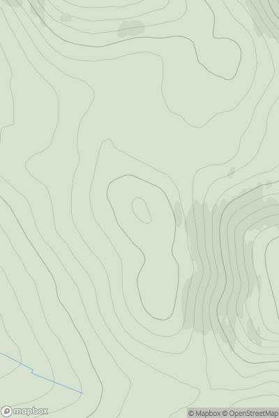
 Braemar to Montrose
 0
0 566.0
566.0User Activity
No recent Activity
0
Ascents
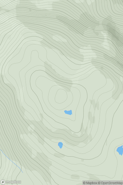
Scourie to Lairg
0
593.0User Activity
No recent Activity
0
Ascents
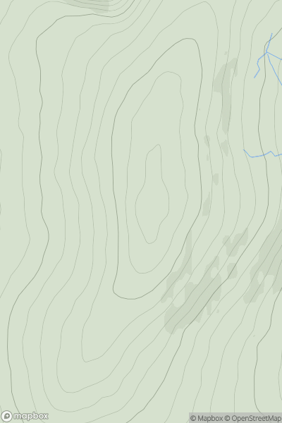
Shropshire
0
536.9User Activity
No recent Activity
0
Ascents
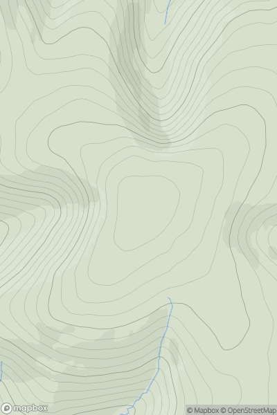
The River Tweed to the English Border
0
550.0User Activity
No recent Activity
![Thumbnail image for Disgwylfa [Llandovery to Monmouth] showing contour plot for surrounding peak](/static/img/mountains_img_db/3522_Disgwylfa_[Llandovery_to_Monmouth].png)
0
Ascents
Llandovery to Monmouth
0
543.5User Activity
No recent Activity
![Thumbnail image for Sgurr a' Bhuic [Morvern and Kingairloch] showing contour plot for surrounding peak](/static/img/mountains_img_db/6915_Sgurr_a'_Bhuic_[Morvern_and_Kingairloch].png)
0
Ascents
Morvern and Kingairloch
0
589.0User Activity
No recent Activity