

_(Na_Beanna_Gorma).png)


0
Ascents

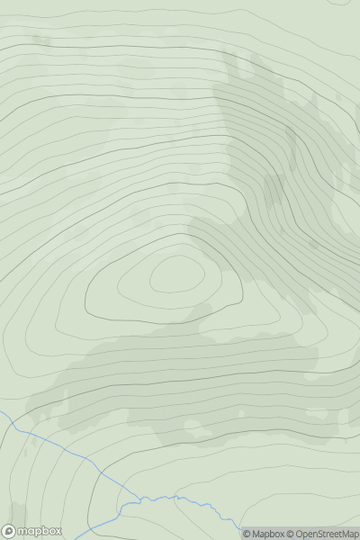
 Derryveagh, Glendowan
 0
0 578.0
578.0User Activity
No recent Activity
0
Ascents
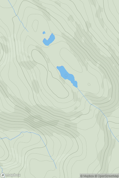
Loch Vaich to Moray Firth
0
579.0User Activity
No recent Activity
0
Ascents
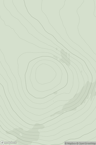
Barmouth to Betws-y-Coed and Bala
0
565.6User Activity
No recent Activity
0
Ascents
Loch Ericht to Glen Tromie & Glen Garry
0
579.0User Activity
No recent Activity
![Thumbnail image for Whiteside Hill [The Glenkens to Annandale] [NS988046] showing contour plot for surrounding peak](/static/img/mountains_img_db/5047_Whiteside_Hill_[The_Glenkens_to_Annandale]_[NS988046].png)
0
Ascents
The Glenkens to Annandale
0
554.0User Activity
No recent Activity
![Thumbnail image for Beinn Tarsuinn [Arran and Holy Island] [NR930451] showing contour plot for surrounding peak](/static/img/mountains_img_db/1479_Beinn_Tarsuinn_[Arran_and_Holy_Island]_[NR930451].png)
0
Ascents
Arran and Holy Island
0
555.9User Activity
No recent Activity