


0
Ascents

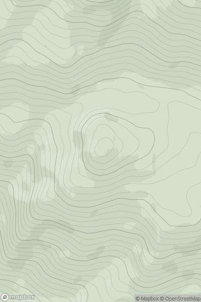
 Loch Maree to Loch Broom
 0
0 598.0
598.0User Activity
No recent Activity
0
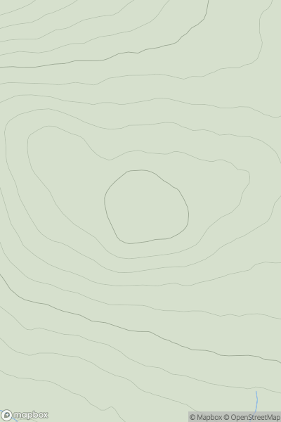
Ascents
Glen Albyn and the Monadh Liath
0
562.0User Activity
No recent Activity
0
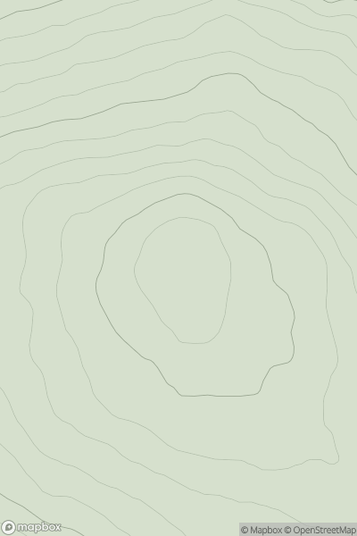
Ascents
Loch Ericht to Glen Tromie & Glen Garry
0
521.0User Activity
No recent Activity
0
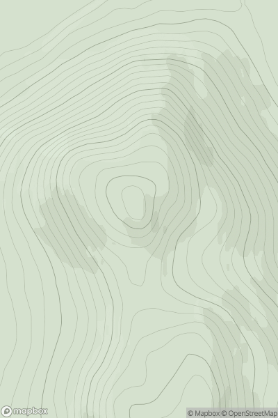
Ascents
Braemar to Montrose
0
527.0User Activity
No recent Activity
0
Ascents
Lancashire, Cheshire and S Pennines
0
506.0User Activity
No recent Activity

0
Ascents
The River Tweed to the English Border
0
588.0User Activity
No recent Activity