


0
Ascents

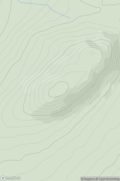
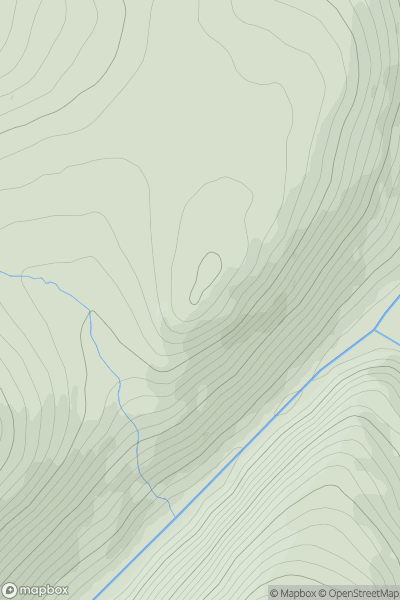
 Loch Treig to Loch Ericht
 0
0 514.0
514.0User Activity
No recent Activity
0
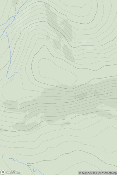
Ascents
The Glenkens to Annandale
0
521.0User Activity
No recent Activity
0
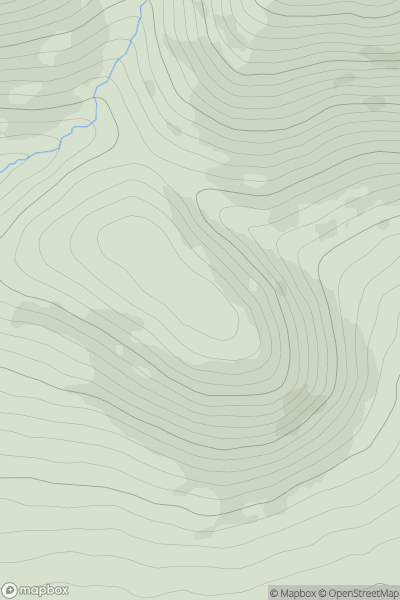
Ascents
The Glenkens to Annandale
0
500.0User Activity
No recent Activity
0
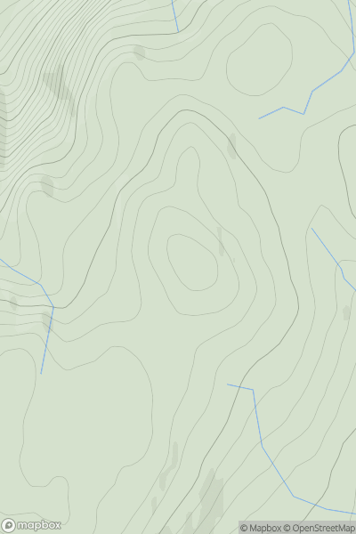
Ascents
Loch Fyne to Bute and the Firth of Clyde
0
504.0User Activity
No recent Activity
0
Ascents
Glen Tromie to Glen Tilt
0
573.0User Activity
No recent Activity
0
Ascents
Firth of Forth to the River Tweed
0
513.0User Activity
No recent Activity