


0
Ascents

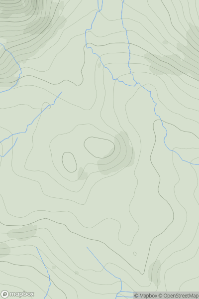
 Braemar to Montrose
 0
0 521.0
521.0User Activity
No recent Activity
0
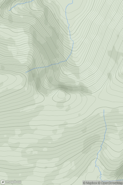
Ascents
Inveraray to Crianlarich
0
523.0User Activity
No recent Activity
0
Ascents
Lancashire, Cheshire and S Pennines
0
521.0User Activity
No recent Activity
0
Ascents
Llandudno to Wrexham
0
510.9User Activity
No recent Activity
0
Ascents
Barmouth to Betws-y-Coed and Bala
0
518.0User Activity
No recent Activity
0
Ascents
Beara Peninsula
0
532.7User Activity
No recent Activity