


0
Ascents

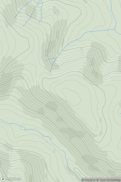
 Aberystwyth to Welshpool
 0
0 538.4
538.4User Activity
No recent Activity
![Thumbnail image for Creag Bhreac [Pitlochry to Braemar & Blairgowrie] [NN948617] showing contour plot for surrounding peak](/static/img/mountains_img_db/6031_Creag_Bhreac_[Pitlochry_to_Braemar_&_Blairgowrie]_[NN948617].png)
0
Ascents
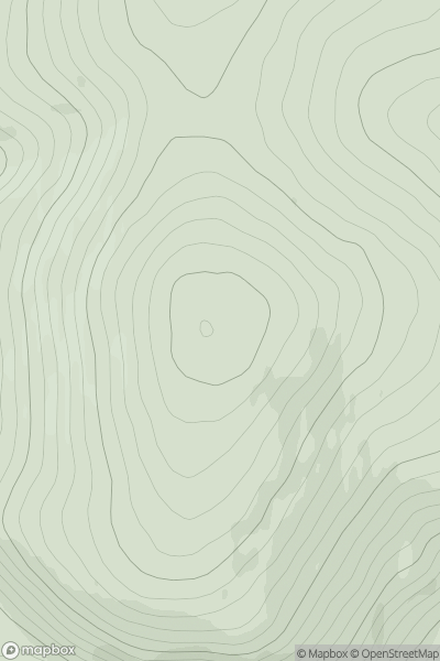
Pitlochry to Braemar & Blairgowrie
0
557.0User Activity
No recent Activity
0
Ascents
Braemar to Montrose
0
514.0User Activity
No recent Activity
![Thumbnail image for Carn na Loinne [Glen Albyn and the Monadh Liath] [NH806248] showing contour plot for surrounding peak](/static/img/mountains_img_db/6321_Carn_na_Loinne_[Glen_Albyn_and_the_Monadh_Liath]_[NH806248].png)
0
Ascents
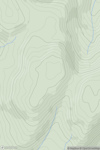
Glen Albyn and the Monadh Liath
0
508.0User Activity
No recent Activity
![Thumbnail image for Bald Hill [Central Scotland from Dumbarton to Montrose] showing contour plot for surrounding peak](/static/img/mountains_img_db/7140_Bald_Hill_[Central_Scotland_from_Dumbarton_to_Montrose].png)
0
Ascents
Central Scotland from Dumbarton to Montrose
0
500.2User Activity
No recent Activity
0
Ascents
Aberystwyth to Welshpool
0
521.0User Activity
No recent Activity