


0
Ascents

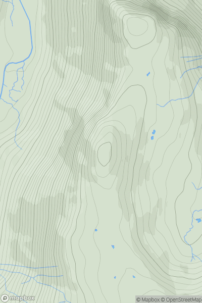
 Lake District C&W
 0
0 571.0
571.0User Activity
No recent Activity
0
Ascents
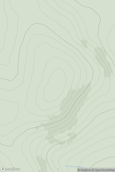
Glen Albyn and the Monadh Liath
0
597.9User Activity
No recent Activity
0
Ascents
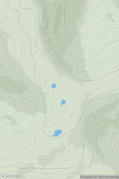
Mull and Nearby Islands
0
538.0User Activity
No recent Activity
0
Ascents
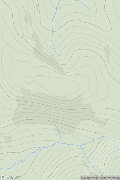
The Glenkens to Annandale
0
550.0User Activity
No recent Activity
0
Ascents
Cairngorms
0
593.0User Activity
No recent Activity
0
Ascents
Pitlochry to Braemar & Blairgowrie
0
503.0User Activity
No recent Activity