

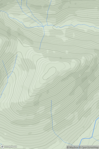
![Thumbnail image for Glas Bheinn [Loch Leven to Rannoch Station] showing contour plot for surrounding peak](/static/img/mountains_img_db/190_Glas_Bheinn_[Loch_Leven_to_Rannoch_Station].png)


0
Ascents

 Loch Leven to Rannoch Station
 0
0 501.0
501.0User Activity
No recent Activity
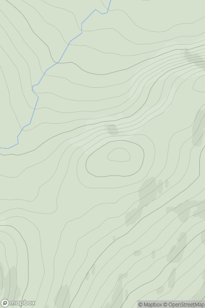
![Thumbnail image for Pool Hill [Welshpool to Hay-on-Wye] showing contour plot for surrounding peak](/static/img/mountains_img_db/3472_Pool_Hill_[Welshpool_to_Hay-on-Wye].png)
0
Ascents
Welshpool to Hay-on-Wye
0
516.0User Activity
No recent Activity
0
Ascents
Bala to Welshpool
0
514.0User Activity
No recent Activity
_(Sliab_Lecga).png)
0
Ascents
Wicklow Hills N
0
536.0User Activity
No recent Activity
0
Ascents
Loch Maree to Loch Broom
0
566.0User Activity
No recent Activity
0
Ascents
Pitlochry to Braemar & Blairgowrie
0
520.0User Activity
No recent Activity