


0
Ascents

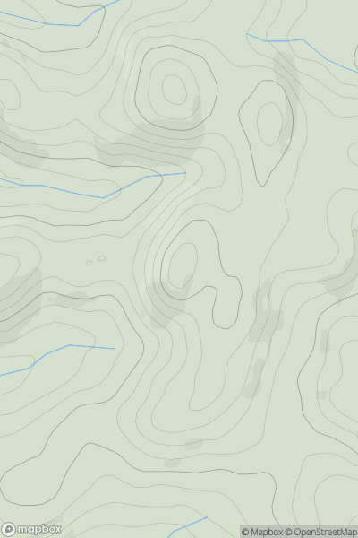
 Aberystwyth to Welshpool
 0
0 528.3
528.3User Activity
No recent Activity
.png)
0
Ascents
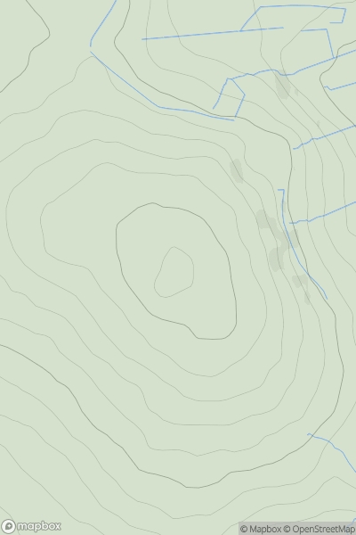
Sperrin Mountains
0
537.0User Activity
No recent Activity
![Thumbnail image for Black Craig [Loch Lochy to Loch Laggan] showing contour plot for surrounding peak](/static/img/mountains_img_db/6342_Black_Craig_[Loch_Lochy_to_Loch_Laggan].png)
0
Ascents
Loch Lochy to Loch Laggan
0
564.0User Activity
No recent Activity
0
Ascents
South West England
0
517.0User Activity
No recent Activity
.png)
0
Ascents
South-West Wales
0
548.0User Activity
No recent Activity
![Thumbnail image for Cruach Bhuidhe [Loch Fyne to Bute and the Firth of Clyde] showing contour plot for surrounding peak](/static/img/mountains_img_db/1437_Cruach_Bhuidhe_[Loch_Fyne_to_Bute_and_the_Firth_of_Clyde].png)
0
Ascents
Loch Fyne to Bute and the Firth of Clyde
0
568.4User Activity
No recent Activity