


0
Ascents

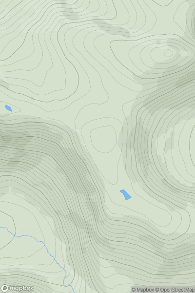
 South Mayo and Central Galway
 0
0 556.0
556.0User Activity
No recent Activity
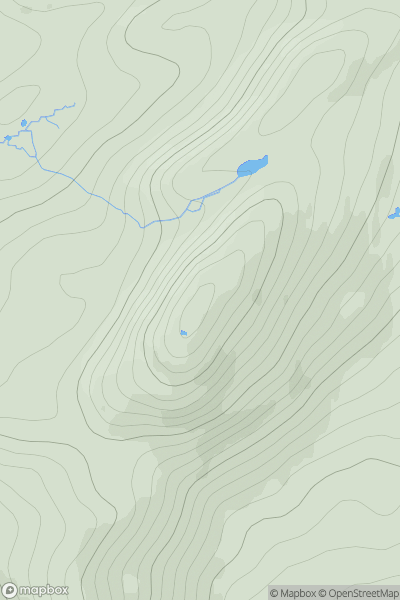
![Thumbnail image for Meall a' Chaise [Morvern and Kingairloch] showing contour plot for surrounding peak](/static/img/mountains_img_db/6924_Meall_a'_Chaise_[Morvern_and_Kingairloch].png)
0
Ascents
Morvern and Kingairloch
0
524.0User Activity
No recent Activity
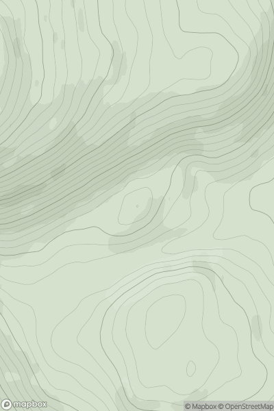
![Thumbnail image for Meall an Fhuarain [Loch Broom to Strath Oykel] showing contour plot for surrounding peak](/static/img/mountains_img_db/1080_Meall_an_Fhuarain_[Loch_Broom_to_Strath_Oykel].png)
0
Ascents
Loch Broom to Strath Oykel
0
578.0User Activity
No recent Activity
0
Ascents
Kyle of Lochalsh to Garve
0
544.0User Activity
No recent Activity
_(nameless_(Bannisdale_Horseshoe)).png)
0
Ascents
Lake District E
0
554.0User Activity
No recent Activity
0
Ascents
Glen Albyn and the Monadh Liath
0
579.0User Activity
No recent Activity