

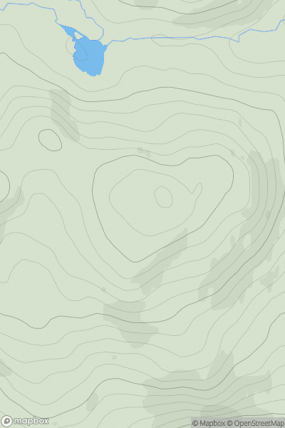
![Thumbnail image for Carn a' Mhadaidh-ruaidh [Mallaig to Fort William] showing contour plot for surrounding peak](/static/img/mountains_img_db/6441_Carn_a'_Mhadaidh-ruaidh_[Mallaig_to_Fort_William].png)


0
Ascents

 Mallaig to Fort William
 0
0 503.0
503.0User Activity
No recent Activity
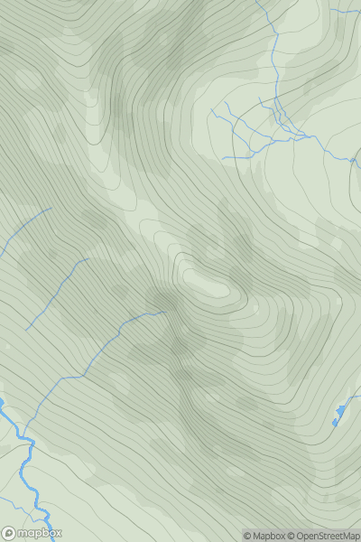
![Thumbnail image for The Socach [Loch Fyne to Bute and the Firth of Clyde] showing contour plot for surrounding peak](/static/img/mountains_img_db/6987_The_Socach_[Loch_Fyne_to_Bute_and_the_Firth_of_Clyde].png)
0
Ascents
Loch Fyne to Bute and the Firth of Clyde
0
506.0User Activity
No recent Activity
0
Ascents
Glen Affric to Glen Moriston
0
533.0User Activity
No recent Activity
.png)
0
Ascents
Lewis and Nearby Islands
0
574.0User Activity
No recent Activity
.png)
0
Ascents
Knockmealdown, Comeragh and Monavullagh Mountains
0
520.0User Activity
No recent Activity
0
Ascents
Canna, Rhum and Eigg
0
546.0User Activity
No recent Activity