

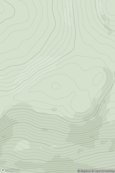
![Thumbnail image for Corse Hill [The Glenkens to Annandale] showing contour plot for surrounding peak](/static/img/mountains_img_db/7210_Corse_Hill_[The_Glenkens_to_Annandale].png)


0
Ascents

 The Glenkens to Annandale
 0
0 580.0
580.0User Activity
No recent Activity
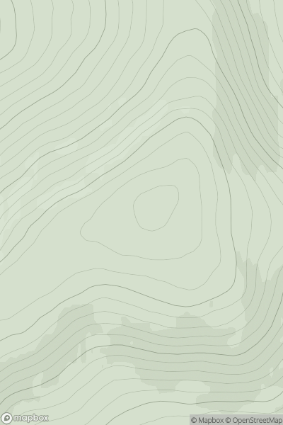
![Thumbnail image for Meall Dubh [Loch Fyne to Bute and the Firth of Clyde] [NS078893] showing contour plot for surrounding peak](/static/img/mountains_img_db/6968_Meall_Dubh_[Loch_Fyne_to_Bute_and_the_Firth_of_Clyde]_[NS078893].png)
0
Ascents
Loch Fyne to Bute and the Firth of Clyde
0
586.0User Activity
No recent Activity
.png)
0
Ascents
Mourne Mountains
0
534.0User Activity
No recent Activity
.png)
0
Ascents
Leitrim and W Cavan
0
526.0User Activity
No recent Activity
0
Ascents
Kyle of Lochalsh to Garve
0
597.4User Activity
No recent Activity
0
Ascents
Braemar to Montrose
0
537.0User Activity
No recent Activity