

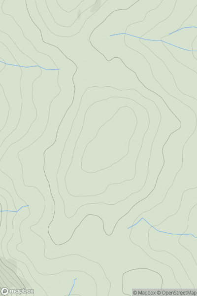
![Thumbnail image for Ward Law [The River Tweed to the English Border] [NT262159] showing contour plot for surrounding peak](/static/img/mountains_img_db/1916_Ward_Law_[The_River_Tweed_to_the_English_Border]_[NT262159].png)


0
Ascents

 The River Tweed to the English Border
 0
0 594.0
594.0User Activity
No recent Activity
0
Ascents
Bala to Welshpool
0
588.0User Activity
No recent Activity
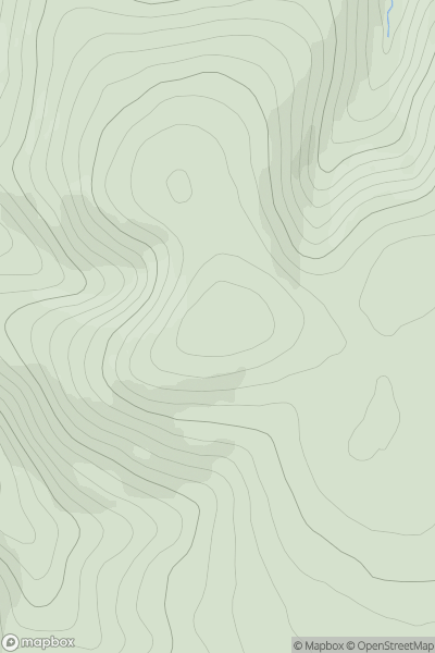
![Thumbnail image for Creag Ruadh East Top [Loch Lochy to Loch Laggan] showing contour plot for surrounding peak](/static/img/mountains_img_db/6343_Creag_Ruadh_East_Top_[Loch_Lochy_to_Loch_Laggan].png)
0
Ascents
Loch Lochy to Loch Laggan
0
558.1User Activity
No recent Activity
.png)
0
Ascents
Leitrim and W Cavan
0
562.0User Activity
No recent Activity
.png)
0
Ascents
Wicklow Hills S
0
531.0User Activity
No recent Activity
0
Ascents
The Glenkens to Annandale
0
553.1User Activity
No recent Activity