

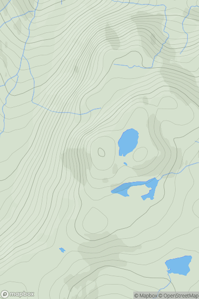
![Thumbnail image for Park Fell [Central Pennines] showing contour plot for surrounding peak](/static/img/mountains_img_db/3614_Park_Fell_[Central_Pennines].png)


0
Ascents

 Central Pennines
 0
0 564.0
564.0User Activity
No recent Activity
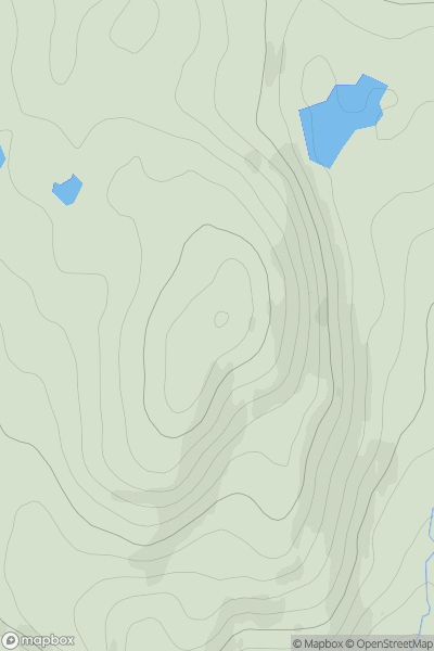
![Thumbnail image for Craig Law [The River Tweed to the English Border] showing contour plot for surrounding peak](/static/img/mountains_img_db/7433_Craig_Law_[The_River_Tweed_to_the_English_Border].png)
0
Ascents
The River Tweed to the English Border
0
514.0User Activity
No recent Activity
0
Ascents
Knoydart to Glen Kingie
0
558.0User Activity
No recent Activity
![Thumbnail image for Meallan Liath Beag [Durness to Loch Shin] [NC413306] showing contour plot for surrounding peak](/static/img/mountains_img_db/6792_Meallan_Liath_Beag_[Durness_to_Loch_Shin]_[NC413306].png)
0
Ascents
Durness to Loch Shin
0
503.0User Activity
No recent Activity
.png)
0
Ascents
Dingle Peninsula - E of Dingle
0
593.0User Activity
No recent Activity
0
Ascents
Glen Affric to Glen Moriston
0
527.0User Activity
No recent Activity