


0
Ascents

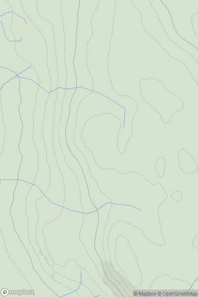
 Lake District N
 0
0 332.0
332.0User Activity
No recent Activity
0
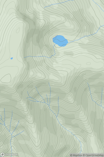
Ascents
Lake District N
0
742.0User Activity
No recent Activity
0
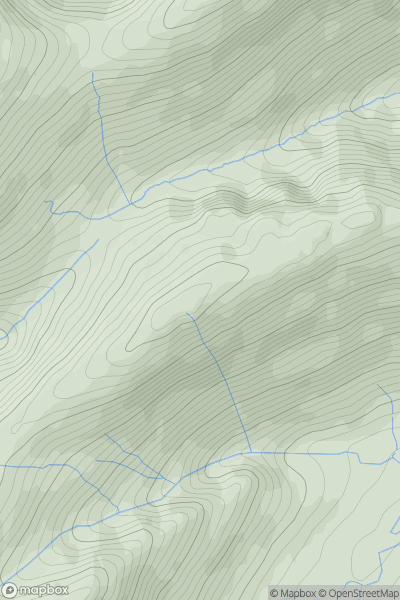
Ascents
Lake District C&W
0
581.0User Activity
No recent Activity
0
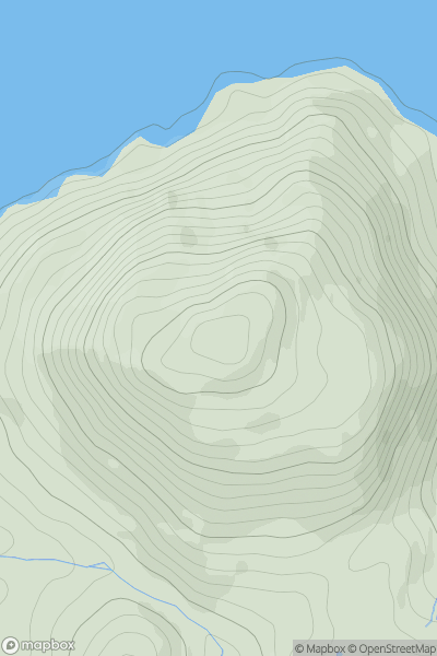
Ascents
Lake District E
0
388.0User Activity
No recent Activity
0
Ascents
Lake District E
0
365.0User Activity
No recent Activity
.png)
0
Ascents
Lake District C&W
0
549.0User Activity
No recent Activity