


0
Ascents

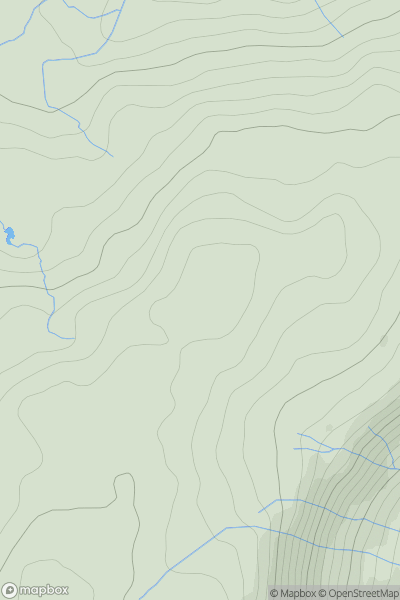
 Lake District E
 0
0 503.0
503.0User Activity
No recent Activity
0
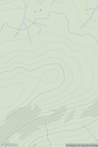
Ascents
Lake District E
0
565.0User Activity
No recent Activity
0
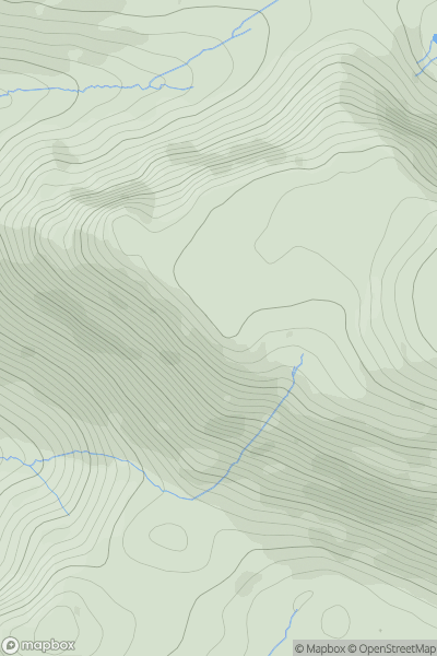
Ascents
Lake District C&W
0
562.0User Activity
No recent Activity
0
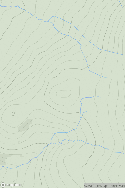
Ascents
Lake District C&W
0
375.0User Activity
No recent Activity
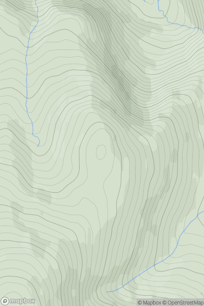
![Thumbnail image for Barrow [Lake District C&W] showing contour plot for surrounding peak](/static/img/mountains_img_db/2488_Barrow_[Lake_District_C&W].png)
0
Ascents
Lake District C&W
0
455.0User Activity
No recent Activity
0
Ascents
Lake District N
0
673.5User Activity
No recent Activity