


0
Ascents

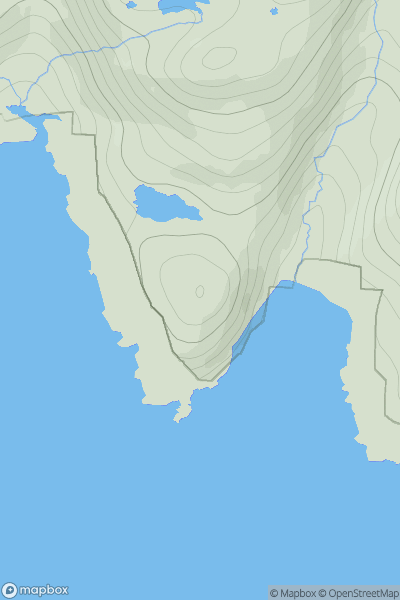
 Lewis and Nearby Islands
 0
0 77.7
77.7User Activity
No recent Activity
0
Ascents
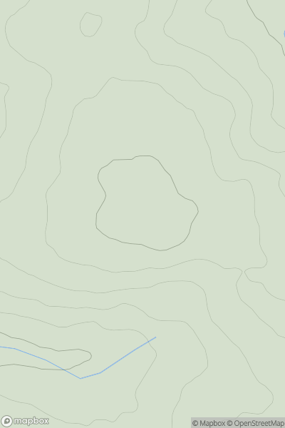
South West England
0
157.0User Activity
No recent Activity
0
Ascents
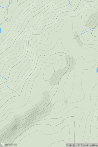
Loch Lomond to Strathyre
0
296.0User Activity
No recent Activity
0
Ascents
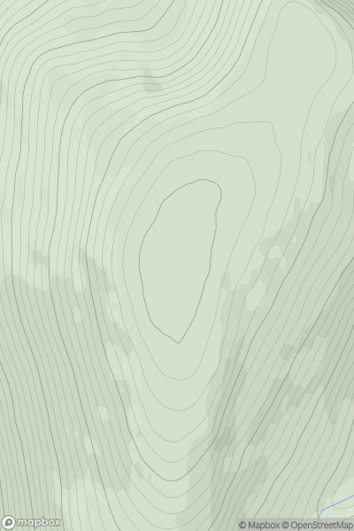
Loch Ericht to Glen Tromie & Glen Garry
0
1010.2User Activity
No recent Activity
0
Ascents
Bala to Welshpool
0
545.0User Activity
No recent Activity
0
Ascents
Iveragh Peninsula S
0
467.0User Activity
No recent Activity