


0
Ascents

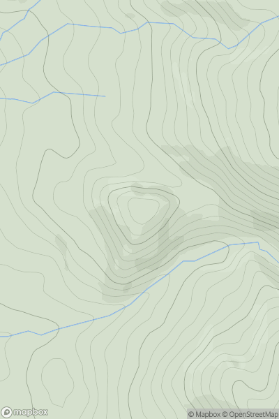
 North Pennines
 0
0 383.0
383.0User Activity
No recent Activity
0
Ascents
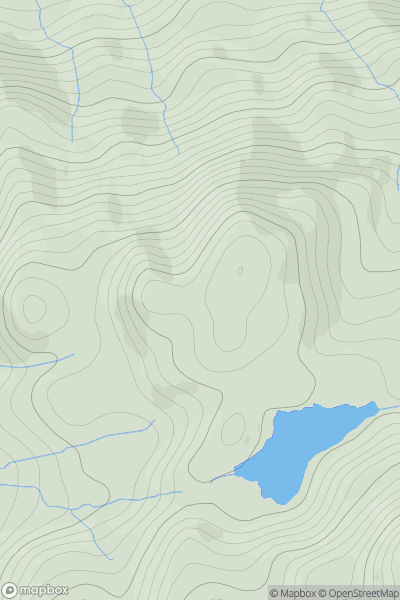
Knoydart to Glen Kingie
0
340.0User Activity
No recent Activity
0
Ascents
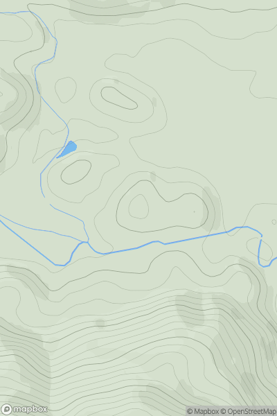
Loch Tay to Perth
0
115.0User Activity
No recent Activity
0
Ascents
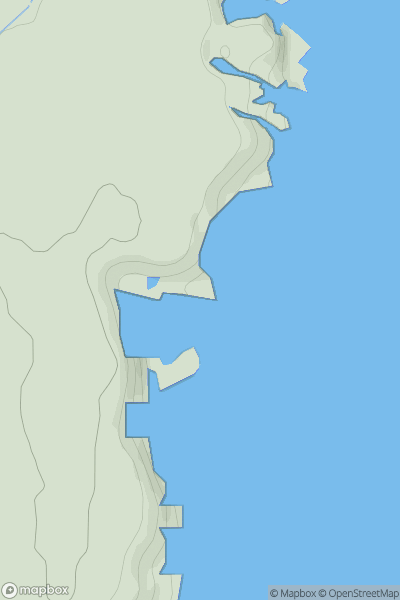
Tongue to Wick and Helmsdale
0
39.6User Activity
No recent Activity
0
Ascents
Lake District S
0
319.0User Activity
No recent Activity
0
Ascents
Lancashire, Cheshire and S Pennines
0
285.1User Activity
No recent Activity