


0
Ascents

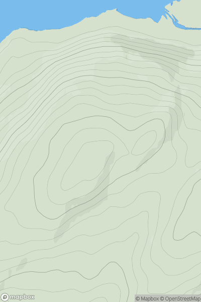
 Neath to Chepstow
 0
0 493.0
493.0User Activity
No recent Activity
0
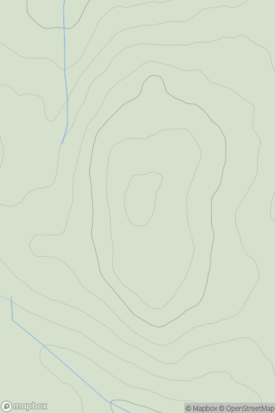
Ascents
Kyle of Lochalsh to Garve
0
201.0User Activity
No recent Activity
0
Ascents
Leitrim and W Cavan
0
452.0User Activity
No recent Activity
0
Ascents
County Clare
0
304.0User Activity
No recent Activity
0
Ascents
Loch Linnhe to Loch Etive
0
181.0User Activity
No recent Activity
0
Ascents
Ayr to the River Clyde
0
375.0User Activity
No recent Activity