


0
Ascents

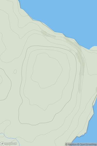
 Anglesey and the Lleyn Peninsula
 0
0 78.0
78.0User Activity
No recent Activity
0
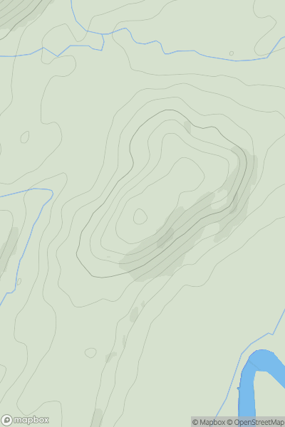
Ascents
Dolgellau to Machynlleth
0
96.0User Activity
No recent Activity
0
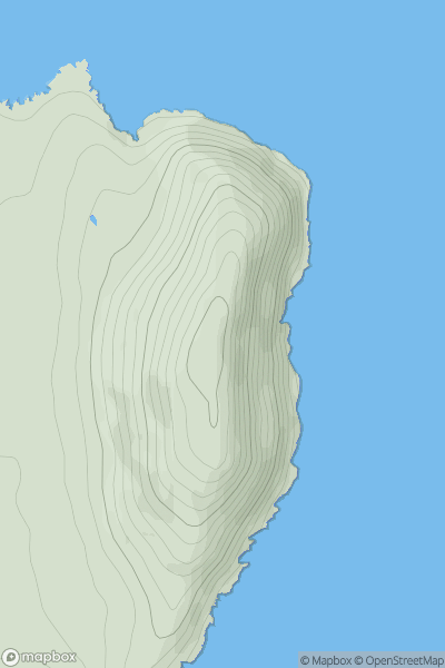
Ascents
Anglesey and the Lleyn Peninsula
0
167.9User Activity
No recent Activity
0
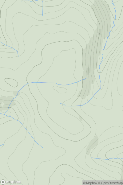
Ascents
Neath to Chepstow
0
373.0User Activity
No recent Activity
0
Ascents
Aberystwyth to Welshpool
0
451.0User Activity
No recent Activity
0
Ascents
South-West Wales
0
210.0User Activity
No recent Activity