


0
Ascents

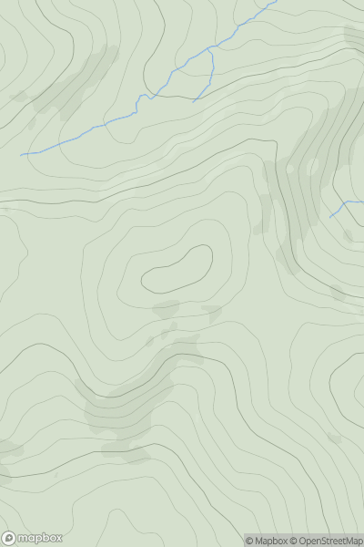
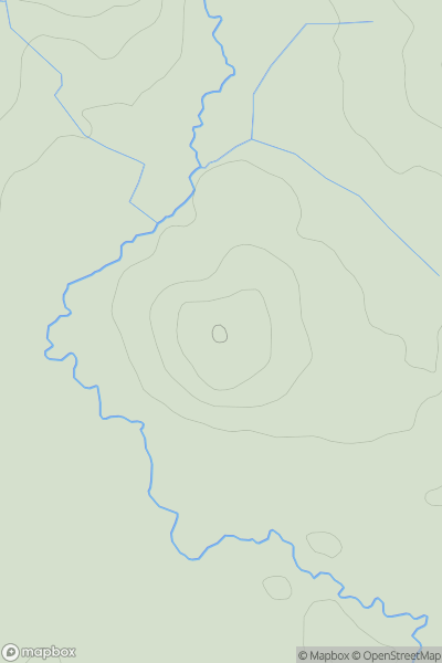
 Llandovery to Monmouth
 0
0 413.2
413.2User Activity
No recent Activity
0
Ascents
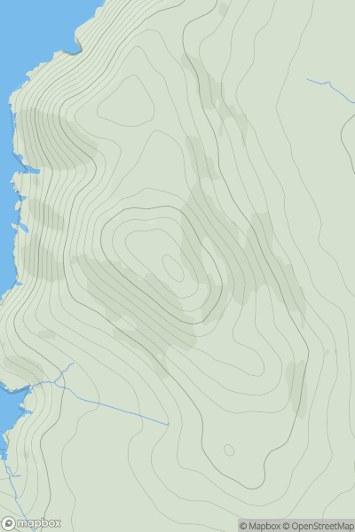
Anglesey and the Lleyn Peninsula
0
191.4User Activity
No recent Activity
0
Ascents
Neath to Chepstow
0
216.0User Activity
No recent Activity
0
Ascents
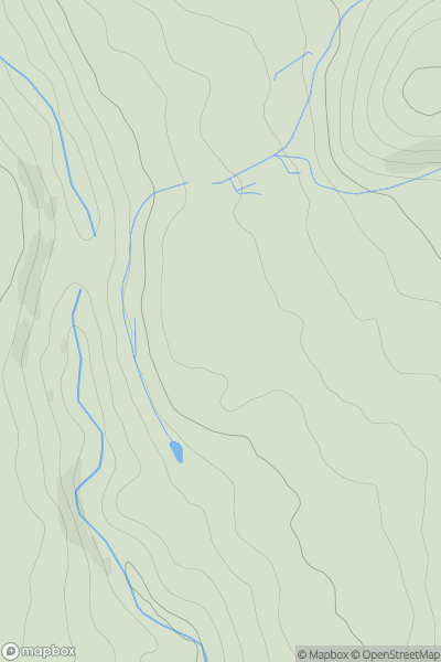
Carmarthen to Vale of Neath
0
305.5User Activity
No recent Activity
0
Ascents
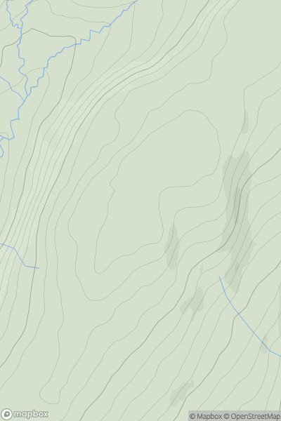
Llandovery to Monmouth
0
103.0User Activity
No recent Activity
0
Ascents
Llandovery to Monmouth
0
400.0User Activity
No recent Activity