


0
Ascents

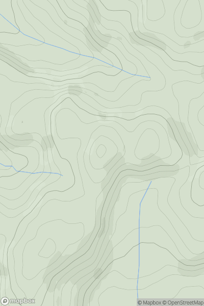
 Neath to Chepstow
 0
0 115.0
115.0User Activity
No recent Activity
0
Ascents
Neath to Chepstow
0
202.0User Activity
No recent Activity
0
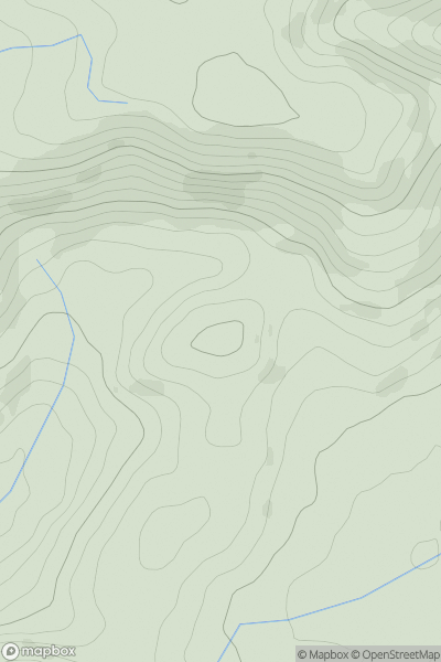
Ascents
Dolgellau to Machynlleth
0
551.0User Activity
No recent Activity
0
Ascents
Dolgellau to Machynlleth
0
202.0User Activity
No recent Activity
0
Ascents
South-West Wales
0
447.0User Activity
No recent Activity
0
Ascents
South-West Wales
0
209.0User Activity
No recent Activity