


0
Ascents

 The River Tweed to the English Border
 0
0 342.0
342.0User Activity
No recent Activity
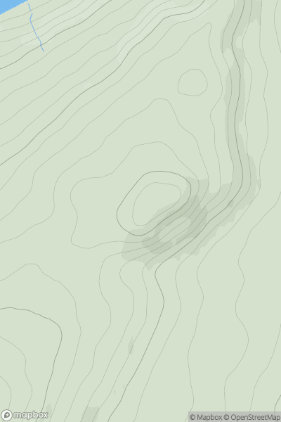
![Thumbnail image for Waterside Hill [Carrick and Galloway] [NX676707] showing contour plot for surrounding peak](/static/img/mountains_img_db/13676_Waterside_Hill_[Carrick_and_Galloway]_[NX676707].png)
0
Ascents
Carrick and Galloway
0
112.0User Activity
No recent Activity
0
Ascents
Killilan to Inverness
0
172.0User Activity
No recent Activity
0
Ascents
Tomintoul to Banff
0
499.0User Activity
No recent Activity
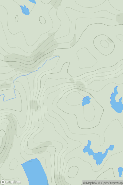
![Thumbnail image for Beinn Tarsuinn [Loch Maree to Loch Broom] showing contour plot for surrounding peak](/static/img/mountains_img_db/1019_Beinn_Tarsuinn_[Loch_Maree_to_Loch_Broom].png)
0
Ascents
Loch Maree to Loch Broom
0
933.8User Activity
No recent Activity
0
Ascents
Lochinver to Ullapool
0
175.0User Activity
No recent Activity