

![Thumbnail image for Carlin Tooth [The River Tweed to the English Border] [NY418988] showing contour plot for surrounding peak](/static/img/mountains_img_db/7440_Carlin_Tooth_[The_River_Tweed_to_the_English_Border]_[NY418988].png)


0
Ascents

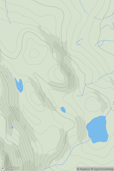
 The River Tweed to the English Border
 0
0 511.0
511.0User Activity
No recent Activity
![Thumbnail image for Beinn Bhearnach [Lewis and Nearby Islands] showing contour plot for surrounding peak](/static/img/mountains_img_db/12304_Beinn_Bhearnach_[Lewis_and_Nearby_Islands].png)
0
Ascents
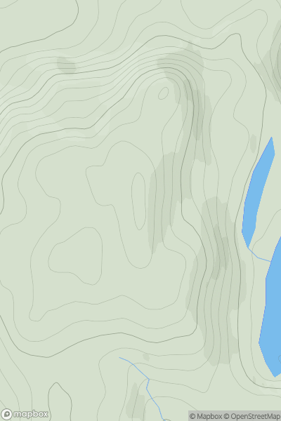
Lewis and Nearby Islands
0
278.0User Activity
No recent Activity

0
Ascents
Tongue to Wick and Helmsdale
0
302.0User Activity
No recent Activity
0
Ascents
North Skye and Raasay
0
187.0User Activity
No recent Activity
0
Ascents
Durness to Loch Shin
0
502.0User Activity
No recent Activity
0
Ascents
Shetland Islands
0
175.0User Activity
No recent Activity