


0
Ascents

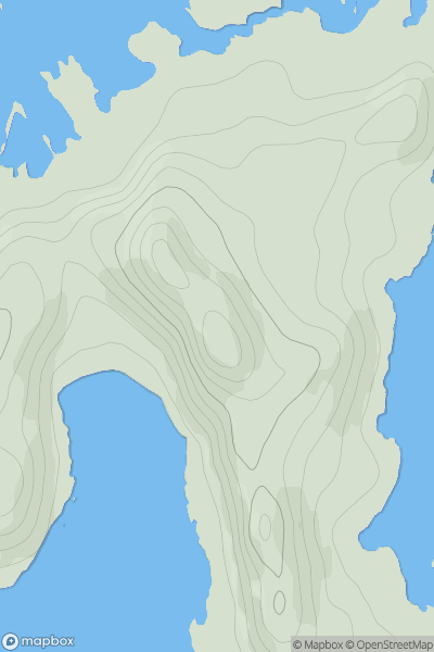
 Jura, Scarba and Colonsay
 0
0 101.0
101.0User Activity
No recent Activity
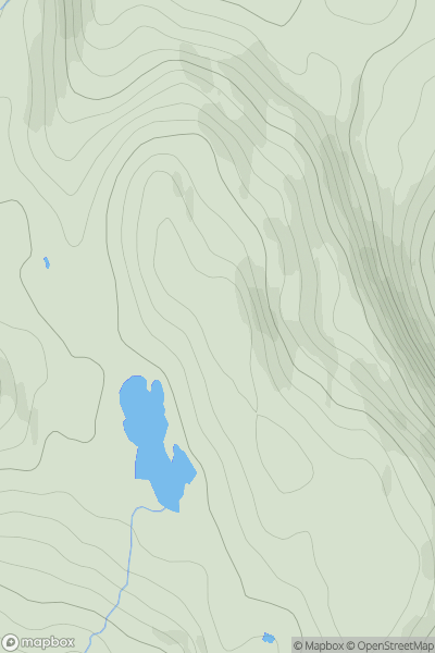
![Thumbnail image for Meall Liath [Loch Rannoch to Glen Lyon] showing contour plot for surrounding peak](/static/img/mountains_img_db/110_Meall_Liath_[Loch_Rannoch_to_Glen_Lyon].png)
0
Ascents
Loch Rannoch to Glen Lyon
0
1013.7User Activity
No recent Activity
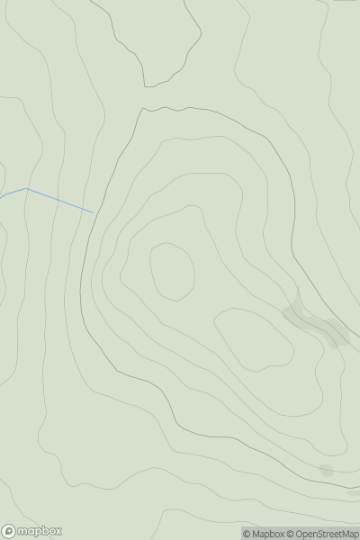
![Thumbnail image for Beinn a' Charnain [Lewis and Nearby Islands] [NB208186] showing contour plot for surrounding peak](/static/img/mountains_img_db/12319_Beinn_a'_Charnain_[Lewis_and_Nearby_Islands]_[NB208186].png)
0
Ascents
Lewis and Nearby Islands
0
245.9User Activity
No recent Activity
0
Ascents
Glen Albyn and the Monadh Liath
0
496.0User Activity
No recent Activity
![Thumbnail image for Cock Rig [Firth of Forth to the River Tweed] [NT152593] showing contour plot for surrounding peak](/static/img/mountains_img_db/13776_Cock_Rig_[Firth_of_Forth_to_the_River_Tweed]_[NT152593].png)
0
Ascents
Firth of Forth to the River Tweed
0
479.0User Activity
No recent Activity
0
Ascents
The Glenkens to Annandale
0
198.0User Activity
No recent Activity